Sign in to access WMTS endpoints.
Sign in to download GeoTIFF.
Sign in to export as IIIF.
Compare
Website
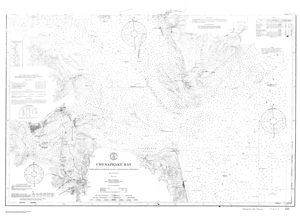
Navigation Chart For the Entrance to the Chesapeake Bay
cp2847c
noaa
1910
C&GS
86 × 107 cm
1 : 80000