Sign in to access WMTS endpoints.
Sign in to download GeoTIFF.
Sign in to export as IIIF.
Compare
Website
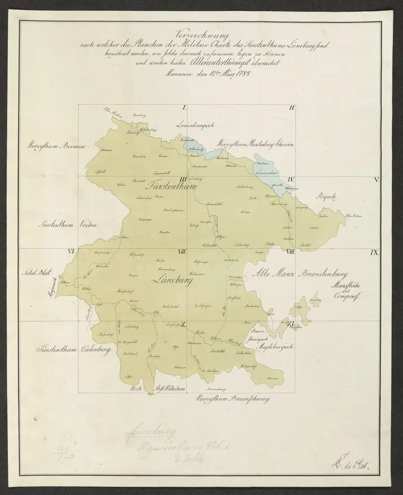
MILITAIR CARTE des FÜRSTENTHUMS LÜNEBURG belegen der Elbe und Aller
mapsukutopu100u7u2
ktop
[1778.]
Du Plat, Georg Josua
G J: du Plat,