ℹ You will be redirected to OldMapsOnline.org to finish the export.
Sign in to access WMTS endpoints.
Sign in to download GeoTIFF.
Sign in to export as IIIF.
Compare
Website
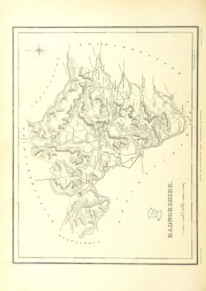
A Topographical Dictionary of Wales ... with an appendix, describing the electoral boundaries of the several boroughs, etc
11008673895
flickr
1833
LEWIS, Samuel Topographer, the Elder
227.1 × 320.7 cm