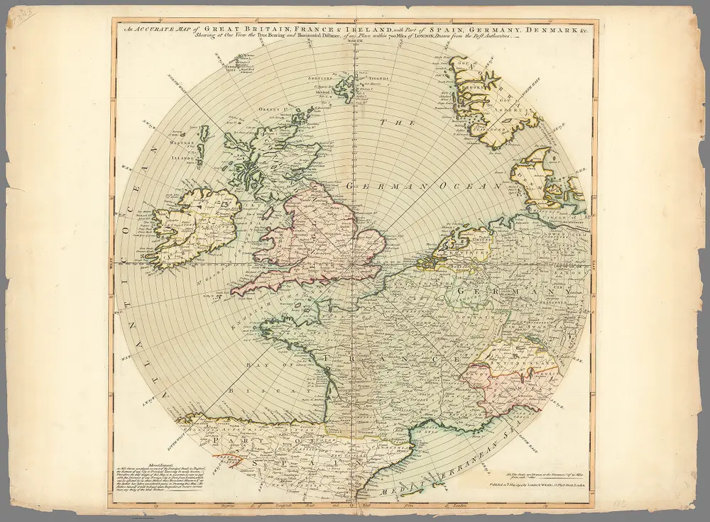
An accurate map of Great Britain, France & Ireland, with part of Spain, Germany, Denmark & c.
Identifier
13366.000
Collection
pilot5
Description
An accurate map of Great Britain, France & Ireland, with part of Spain, Germany, Denmark & c. : Shewing at one view the true bearing and horizontal distance of any place within 700 miles of London : drawn from the best authorities. Published 12th May, 1794 by Laurie & Whittle, 53 Fleet Street, London.