Sign in to access WMTS endpoints.
Sign in to download GeoTIFF.
Sign in to export as IIIF.
Compare
Original viewer
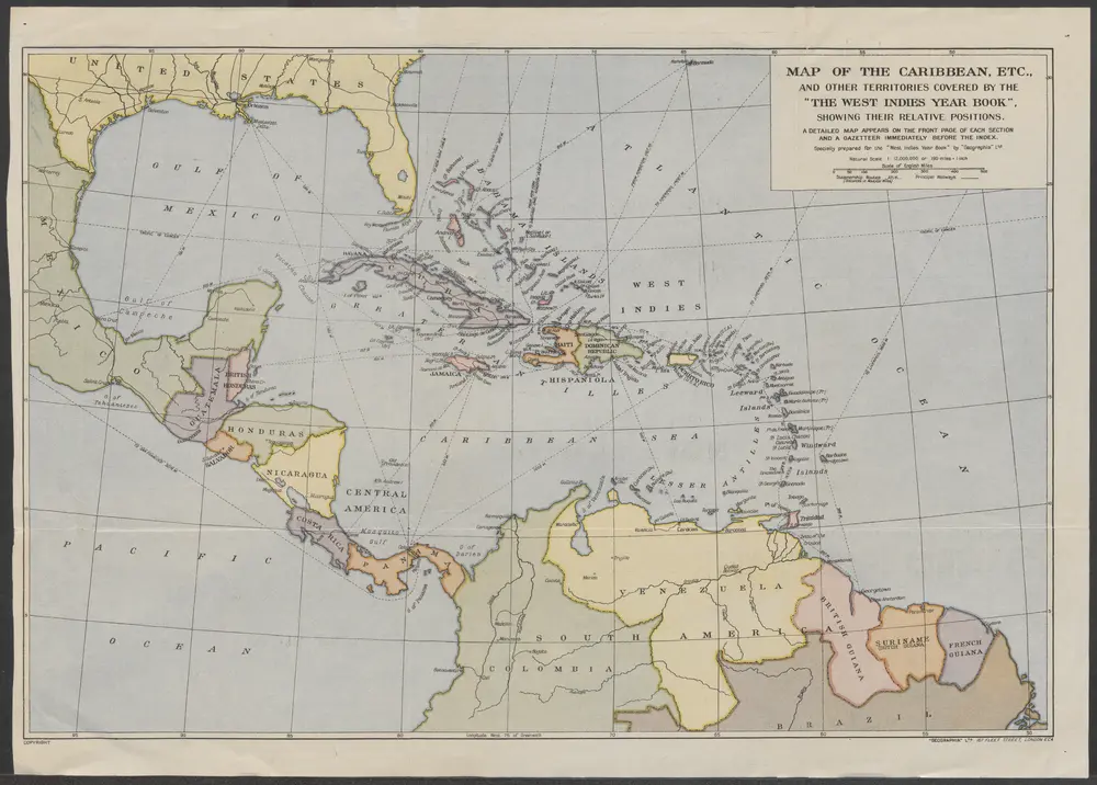
Map of the Caribbean, etc., and other territories covered by the "The West Indies Year Book", showing their relative positions.
COLLBN_054-25-034
Maps in the Crowd Caribbean Collection
1900
London : Geographia Ltd.