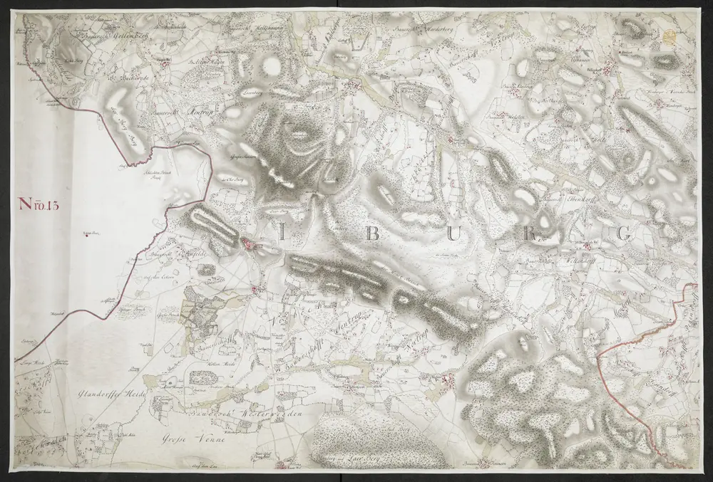
Specielle Carte des HOCHSTIFFTS OSNABRUCK in XIX Planchen
Identifier
mapsukutopu91u67u1uiv
Collection
ktop
Publication date
[1767.]
Creator
Bussche-Haddenhausen, Georg Wilhelm von dem
Publisher
von Georg Wilhelm von dem Bussche Obrist Lieutenant unter Hochstderoselben Regimente und Frantz Christian Benoit Capitaine Lieutenant bey dem Jahren 1765, 1766 und 1767,