Sign in to access WMTS endpoints.
Sign in to download GeoTIFF.
Sign in to export as IIIF.
Compare
Website
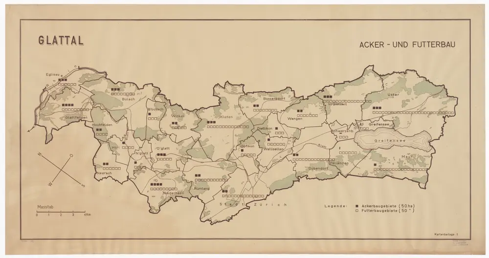
Fällanden bis Glattfelden: Melioration des ganzen Glatttals, Acker- und Futterbaugebiete; Übersichtsplan
PLAN_L_289
Maps
Kilometer 0.000 bis 35.763. Mit Originalvermerk: Kartenbeilage 1. Mit Legende und Grössenangabe pro Gemeinde. Ohne Datumsangabe.
From 1936-01-01 to 1957-12-31
Schweizerische Vereinigung für Innenkolonisation und industrielle Landwirtschaft
158.1 × 82.3 cm
1 : 25000
200