Sign in to access WMTS endpoints.
Sign in to download GeoTIFF.
Sign in to export as IIIF.
Compare
Website
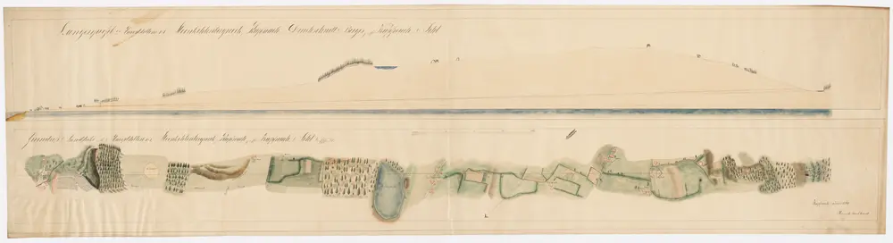
Horgen: Kohlebergwerk Käpfnach, Hauptstollen Nr. I von Käpfnach bis zur Sihl; Grundriss der Landstrecke und Längsprofil
PLAN_J_2
Maps
Handgezeichnete Kopie eines im Jahr 1790 von H. F. verfertigten Originalplans.
From 1860-06-01 to 1860-06-30
Burkhardt, Heinrich
193 × 37.5 cm
200