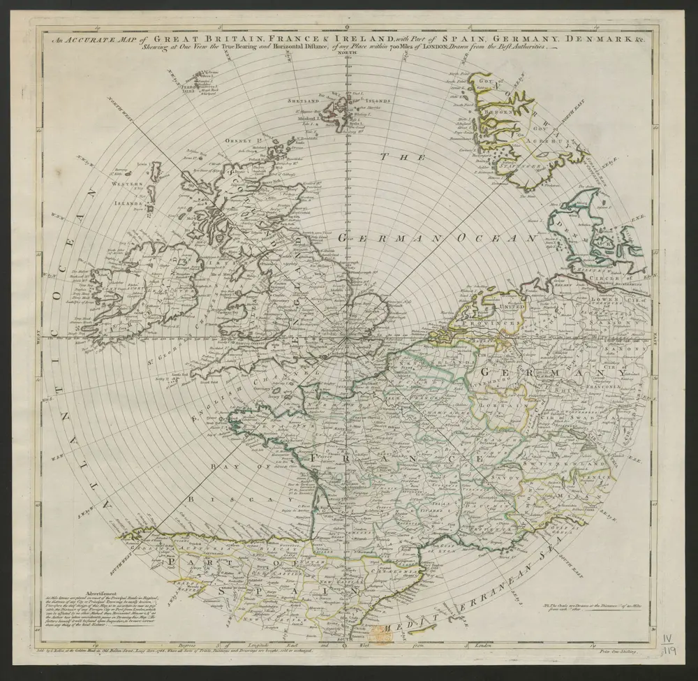
An accurate Map of Great Britain, France, & Ireland, with part of Spain, Germany, Denmark, &c., shewing at one view the true bearing and horizontal distance of any place within 700 miles of London; drawn from the best authorities.
ℹ You will be redirected to OldMapsOnline.org to finish the export.