Sign in to access WMTS endpoints.
Sign in to download GeoTIFF.
Sign in to export as IIIF.
Compare
Website
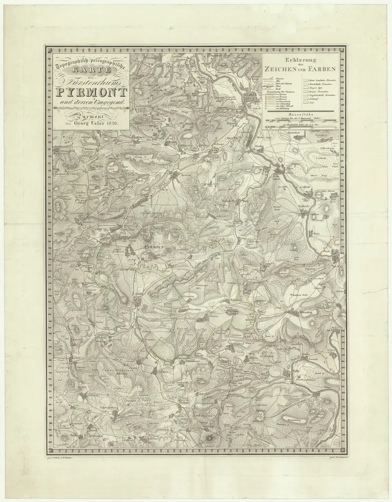
Topographish-petrographische Karte des Fürstenthums Pyrmont und dessen Umgegend
807142
CUNI
Dolní Sasko (Německo)
1826
Curtze, G.
Kirchner, W.
Georg Uslar
1 : 70000