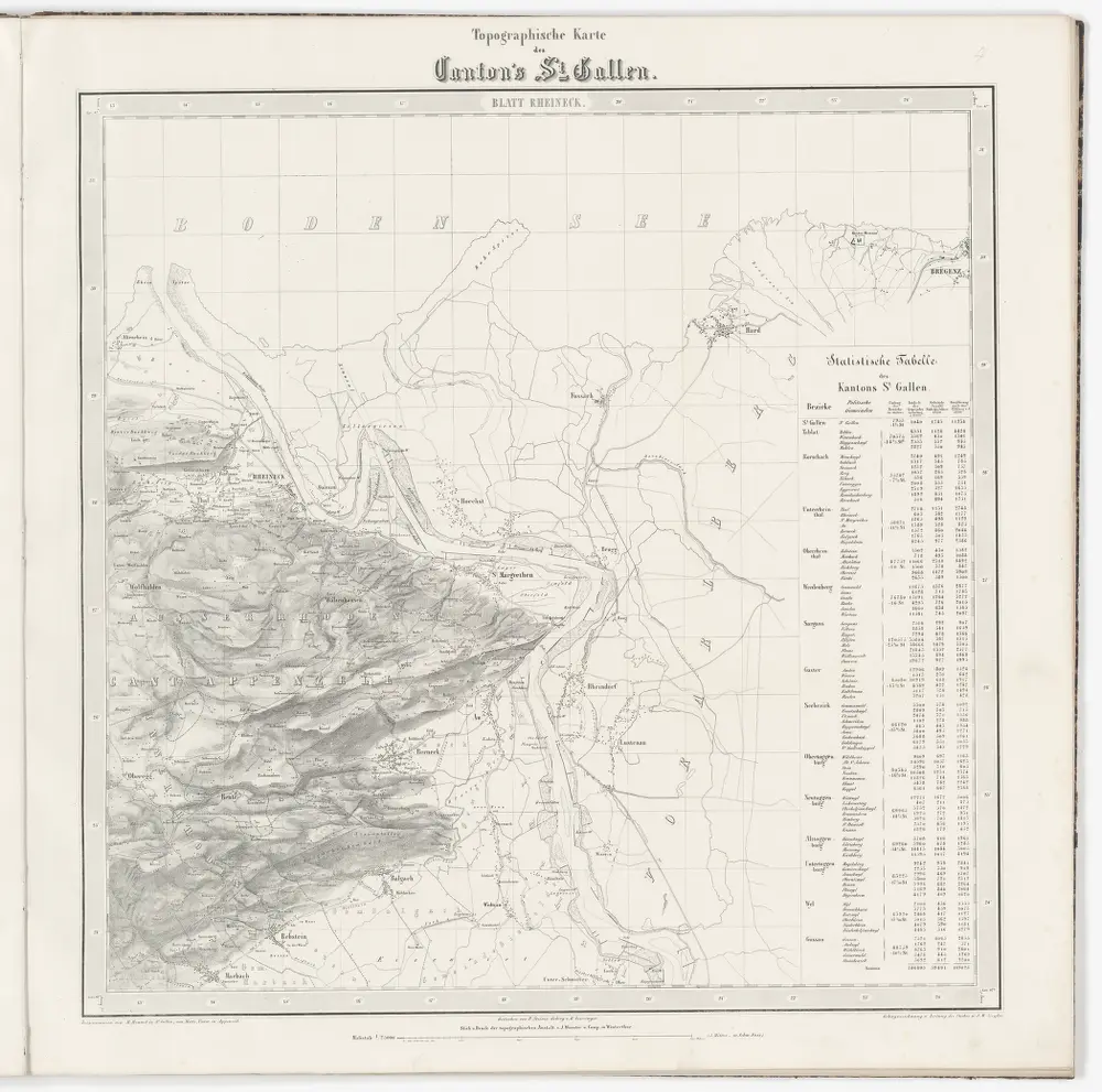
Topographische Karte des Kantons St. Gallen mit Einschluss des Kantons Appenzell (Eschmann-Karte): Blatt Rheineck
Identifier
PLAN_G_110_4
Collection
Maps
Description
Mit statistischer Tabelle.
Depicted date
From 1851-01-01 to 1856-12-31
Creator
Aufnahme: Hennet, Théodore Hippolyte (1819-1879), Ingenieur; Merz, Johann Ludwig, andere Schreibweise: Mertz, (1772-1851), Kaufmann und Oberstleutnant, von Herisau AR Stich: Steiner, P.; Leuzinger, Rudolf (1826-1896), Kartograf und Lithograf, von Netstal GL und Mollis GL Gebirgszeichnung und Leitung des Stichs: Ziegler, Jakob Melchior (1801-1883), Kartograf Stich und Druck: Joh. Wurster und Comp., in Winterthur