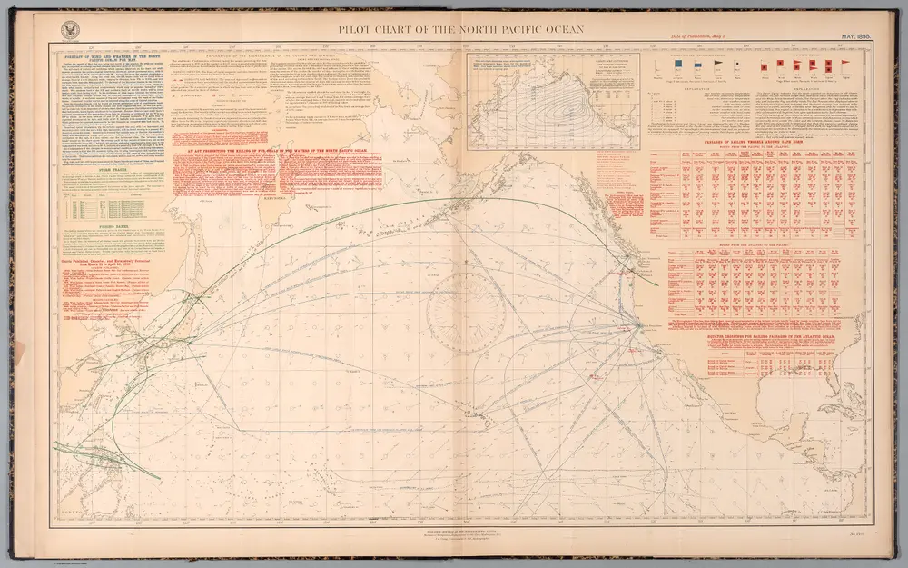
Pilot chart of the North Pacific Ocean : May, 1898.
Identifier
14391.012
Collection
2024
Description
Pilot chart of the North Pacific Ocean : May, 1898. Date of publication, May 5. Published monthly at the Hydrographic Office, Bureau of Navigation, Department of the Navy, Washington, D.C., J. E. Craig, Commander, U.S. Navy, Hydrographer.
Publication date
1898
Creator
United States. Naval Oceanographic Office; United States. Department of the Navy. Bureau of Navigation; Craig, J. E.