ℹ You will be redirected to OldMapsOnline.org to finish the export.
Sign in to access WMTS endpoints.
Sign in to download GeoTIFF.
Sign in to export as IIIF.
Compare
Website
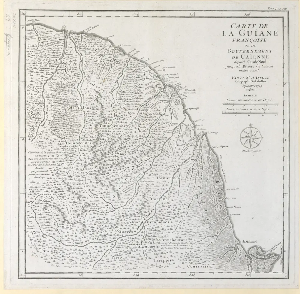
CARTE DE LA GUÏANE FRANÇOISE OU DU GOUVERNEMENT DE CAÏENNE depuis le Cap de Nord jusqu'a la Riviere de Maroni inclusivement.
mapsukutopu124u49
ktop
Septembre 1729.
Anville, Jean Baptiste Bourguignon d'
[Jean Baptiste Bourguignon d’Anville]