Sign in to access WMTS endpoints.
Sign in to download GeoTIFF.
Sign in to export as IIIF.
Compare
Original viewer
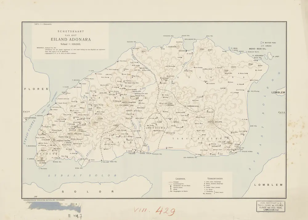
Schetskaart van het Eiland Adonara / Topographische Inrichting Batavia, 1911 (november)
D_E_44_7
KITLV Heritage Collection
1911
Topographische Inrichting Batavia
Batavia : Topographische Inrichting