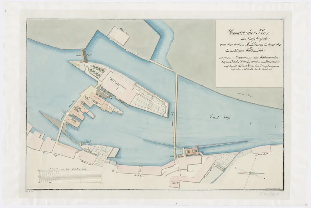
Zürich: Flussbezirk vom Unteren Mühlesteg bis zur Walchenmühle; Grundriss von 1811
Identifier
PLAN_E_220
Collection
Maps
Description
Handgezeichnete Kopie eines von Heinrich Pestalozzi, Ingenieur, von Zürich, aufgenommenen Plans. Mit Bezeichnung aller Mühlenwerke, Wasserräder, Durchfahrten und Wildschüsse.