Sign in to access WMTS endpoints.
Sign in to download GeoTIFF.
Sign in to export as IIIF.
Compare
Website
Catalog
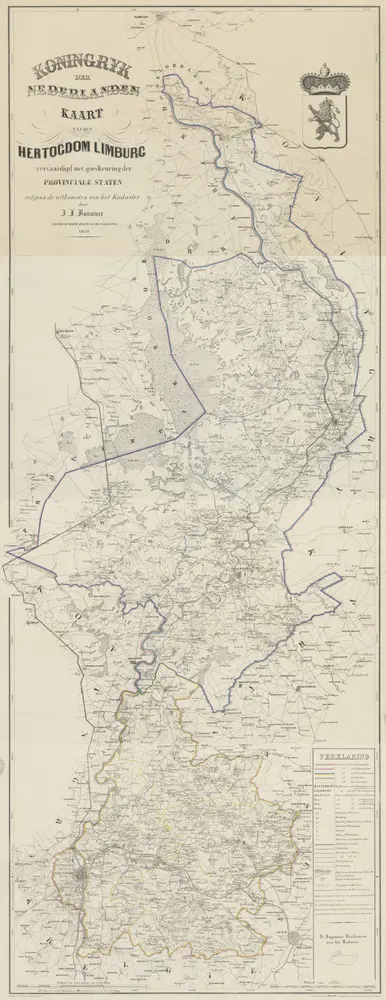
Kaart van het hertogdom Limburg
1874-351901
Maps of the Netherlands and Dutch regions
1849
vervaardigd met goedkeuring der Provinciale Staten volgens de uitkomsten van het kadaster door J.F. Bonniver ...
geteekend door J.F.M. Bonniver zoon ; gegraveerd door L. Muller ...
[S.l.] : [s.n.]
63 × 170 cm
1 : 75000
300