Sign in to access WMTS endpoints.
Sign in to download GeoTIFF.
Sign in to export as IIIF.
Compare
Website
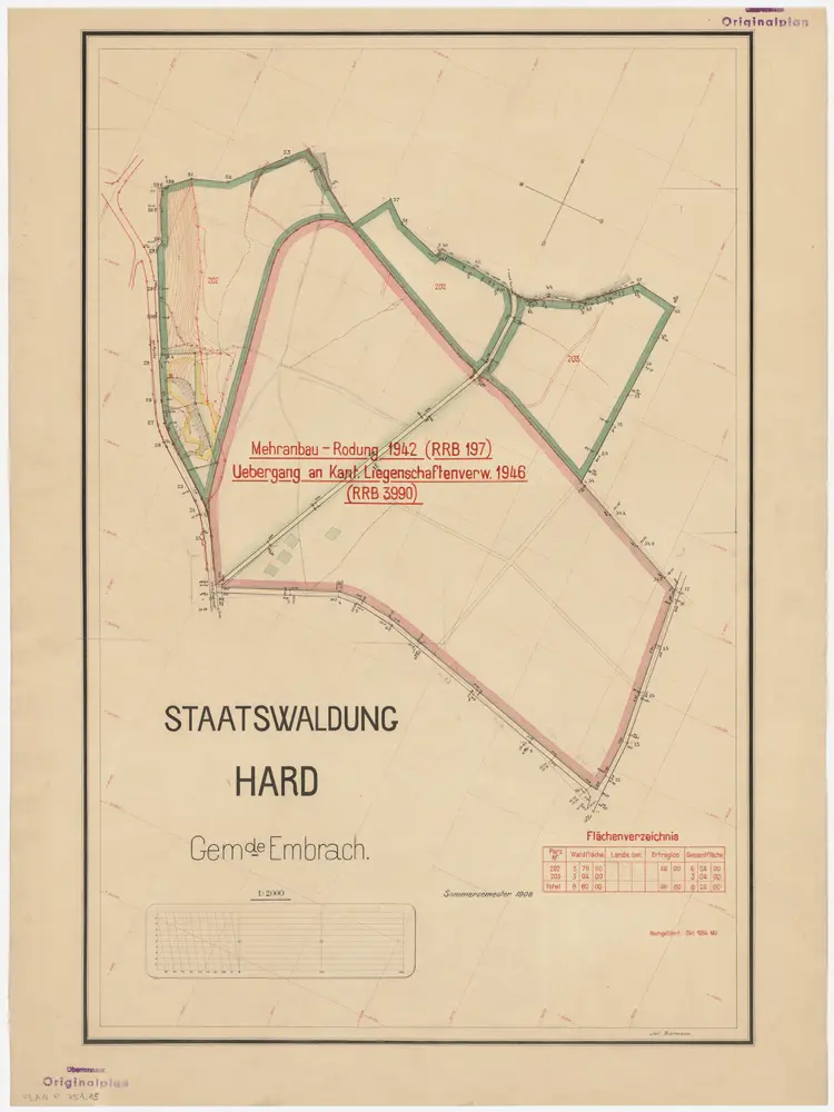
Embrach: Staatswaldung: Hard; Grundriss
PLAN_P_751_15
Maps
Mit Verzeichnis der Flächeninhalte und Hinweis auf die im Jahr 1942 gerodete Fläche südlich von Geissenrain und Hardrüti.
From 1908-01-01 to 1954-10-31
Thalmann, Jul. Nachführung: Mü.
50 × 67 cm
1 : 2000
300