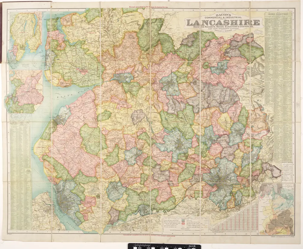
Bacon's commercial & industrial map of Lancashire: showing railways, roads elevations & distances: also local government divisions including parishes with acreages.
Bacon's commercial & industrial map of Lancashire: showing railways, roads elevations & distances: also local government divisions including parishes with acreages.