Sign in to access WMTS endpoints.
Sign in to download GeoTIFF.
Sign in to export as IIIF.
Compare
Website
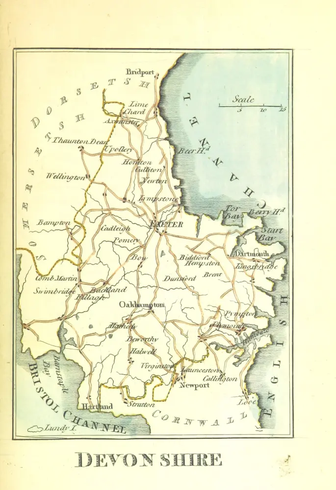
The picture of England. Illustrated with colour'd maps of the several counties
10999799973
flickr
1804
GREEN, William Miscellaneous Writer
124.4 × 181.6 cm