ℹ You will be redirected to OldMapsOnline.org to finish the export.
Sign in to access WMTS endpoints.
Sign in to download GeoTIFF.
Sign in to export as IIIF.
Compare
Website
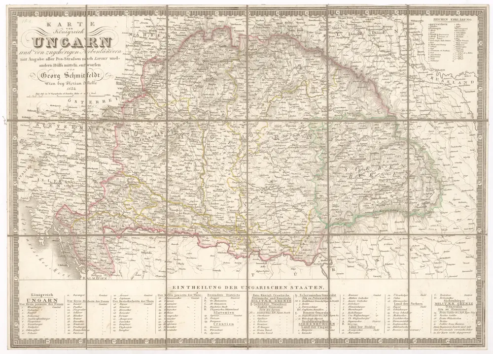
Karte von Königreich Ungarn und den zugehörigen Nebenländern
1016273
CUNI
Maďarsko
1834
Schmitfeldt, Georg
Lipský, Ján
Florian Mollo
1 : 1887000