ℹ You will be redirected to OldMapsOnline.org to finish the export.
Sign in to access WMTS endpoints.
Sign in to download GeoTIFF.
Sign in to export as IIIF.
Compare
Website
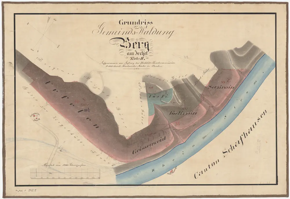
Berg am Irchel: Gemeindewaldung: Urfelen, Geissenweid, Jösli, Setzirain; Grundriss (Tab. II)
PLAN_P_595_5
Maps
From 1848-01-01 to 1848-12-31
Aufnahme und Zeichnung: Meister, Hans Ulrich (1801-1874), Forstmeister des 3. Kreises des Kantons Zürich, von Benken
62 × 42.5 cm
300