ℹ You will be redirected to OldMapsOnline.org to finish the export.
Sign in to access WMTS endpoints.
Sign in to download GeoTIFF.
Sign in to export as IIIF.
Compare
Website
Catalog
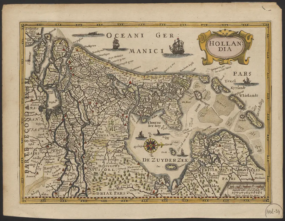
Hollandia
1874-20428
Maps of the Netherlands and Dutch regions
1690
[Pieter van den Keere engraver]
[Amsterdam] : [Guglielmo de Jonge]
26 × 19 cm
1 : 800000
300