Sign in to access WMTS endpoints.
Sign in to download GeoTIFF.
Sign in to export as IIIF.
Compare
Website
Catalog
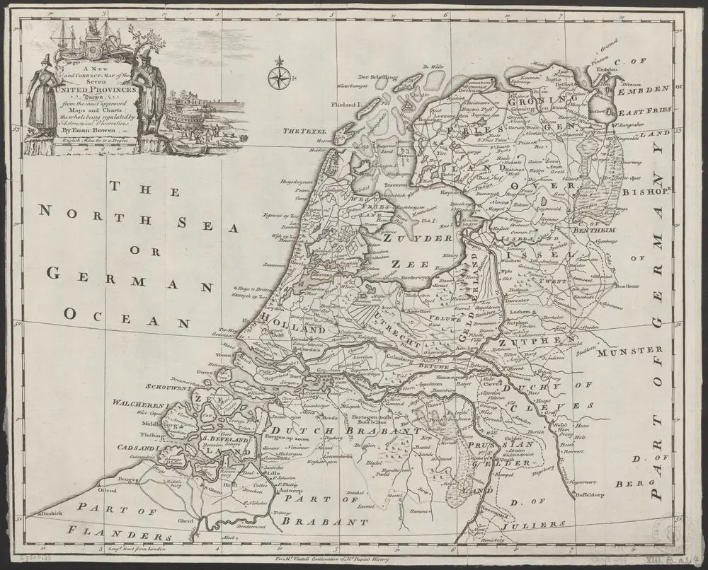
A new and correct map of the seven provinces : drawn from the most approved maps and charts : the whole being regulated by astronomical observations
1874-348504
Maps of the Netherlands and Dutch regions
1750
by Eman Bowen.
[London] : Tyndal
42 × 35 cm
1 : 920000
300