ℹ You will be redirected to OldMapsOnline.org to finish the export.
Sign in to access WMTS endpoints.
Sign in to download GeoTIFF.
Sign in to export as IIIF.
Compare
Website
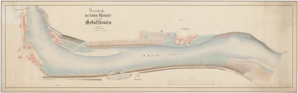
Neuhausen SH, Flurlingen: Rhein von oberhalb der äusseren Mühle in Schaffhausen bis unterhalb Flurlingen; Situationsplan (Rhein-Gebiet Nr. 12 d)
PLAN_L_1439
Maps
Kilometer 38.020 bis 36.480.
From 1862-03-01 to 1862-03-31
Aufnahme: Peter, R., Geometer, in Unterstrass
192 × 59.3 cm
1 : 1000
250