Sign in to access WMTS endpoints.
Sign in to download GeoTIFF.
Sign in to export as IIIF.
Compare
Website
Catalog
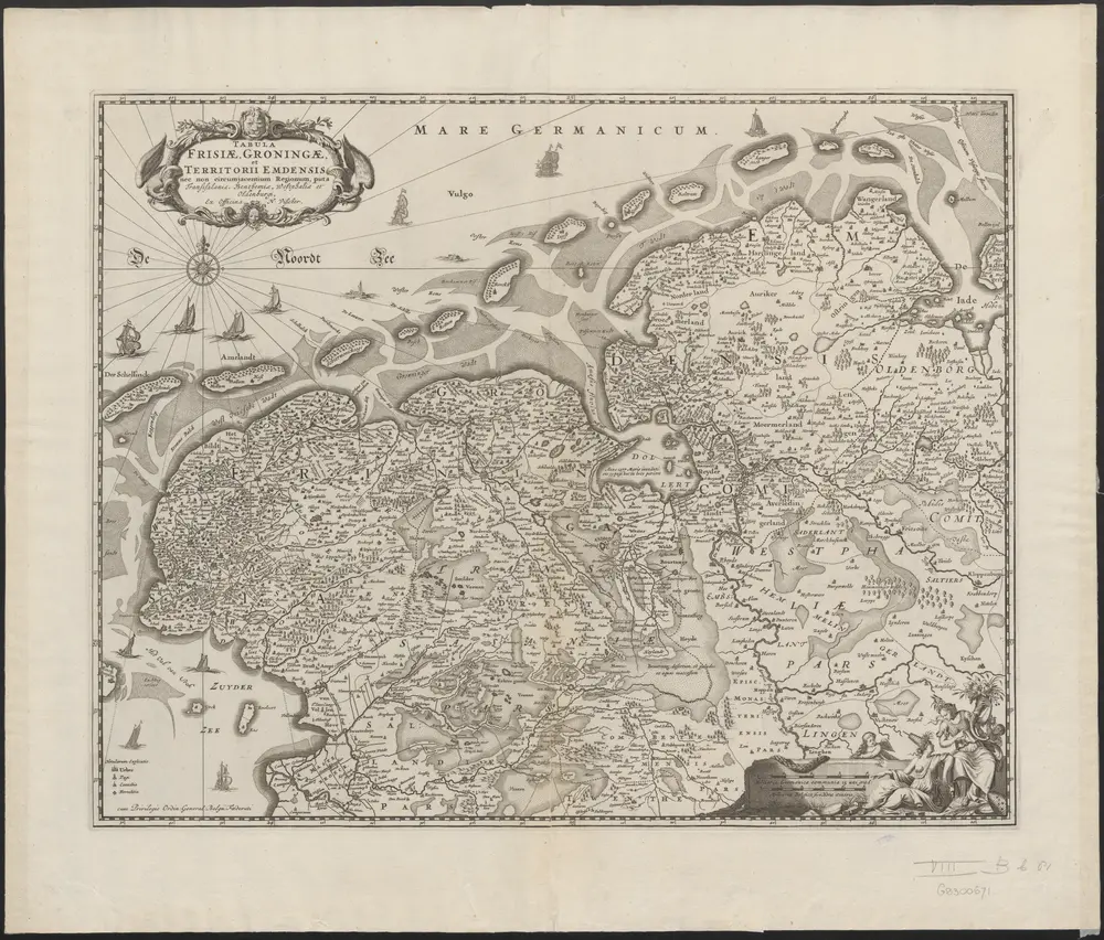
Tabula Frisiae, Groningae, et territorii Emdensis nec non circumjacentium regionum, puta Transisalaniae, Benthemiae, Westphaliae, et Oldenburgi.
1874-348525
Maps of the Netherlands and Dutch regions
1670
[Amsterdam] : ex officina N. Visscher
54 × 43 cm
1 : 450000
300