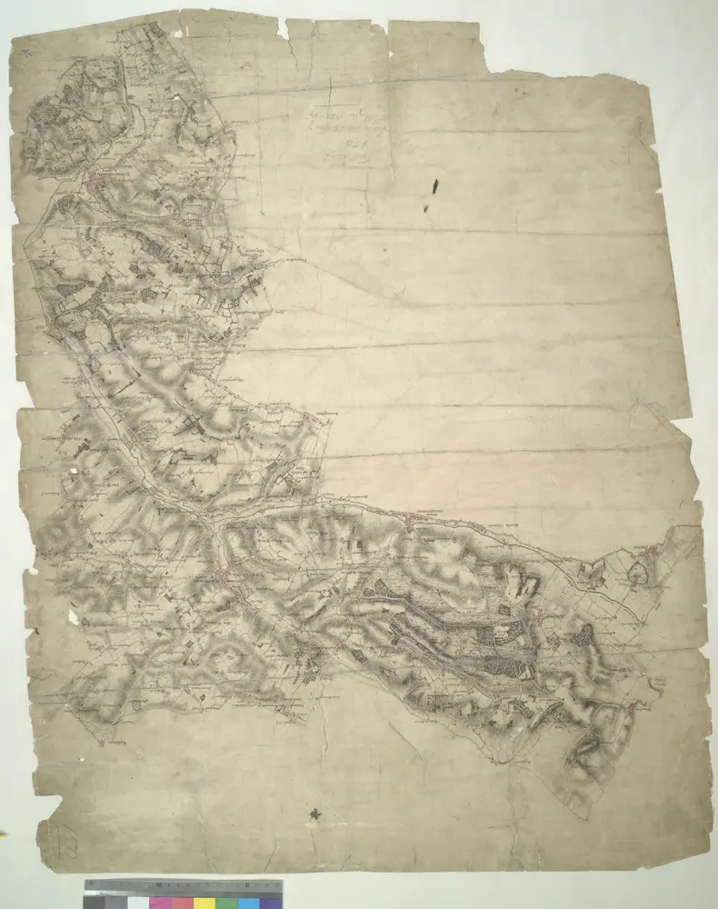
This drawing describes a section of the Grand Junction Canal. The prehistoric Icknield Way appears at the top left of the plan. Hill-shading techniques and the attention given to communications routes conform to the military and cartographic standards employed by the Survey. Some name corrections are visible in faded ink in the centre of the map around Bovingdon. Harefield Common is also revised.