Sign in to access WMTS endpoints.
Sign in to download GeoTIFF.
Sign in to export as IIIF.
Compare
Website
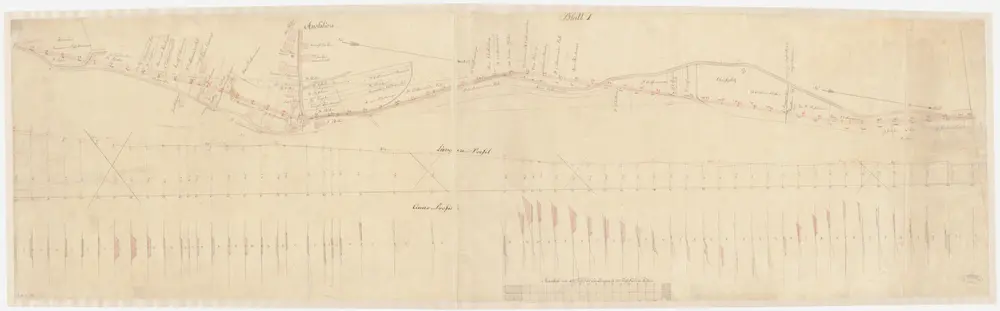
Pfäffikon: Projektierte Strasse vom Gebiet der Zivilgemeinde Irgenhausen bis zur Ausliker Höhe; Situationsplan, Längs- und Querprofile (Blatt 1)
PLAN_S_288
Maps
Mit Angabe der Namen von Grundeigentümern. Ohne Datumsangabe.
From 1837-01-01 to 1837-12-31
183.5 × 57 cm
200