ℹ You will be redirected to OldMapsOnline.org to finish the export.
Sign in to access WMTS endpoints.
Sign in to download GeoTIFF.
Sign in to export as IIIF.
Compare
Website
Original viewer
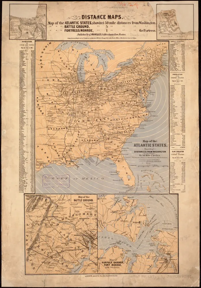
Map of the Atlantic States, showing distances from Washington (in bee line) by 50 mile circles
39999059030997
public
From 1861 to 1861