Sign in to access WMTS endpoints.
Sign in to download GeoTIFF.
Sign in to export as IIIF.
Compare
Website
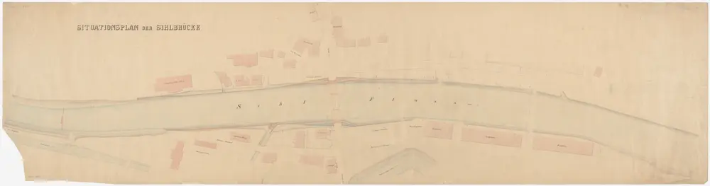
Enge, Aussersihl, Wiedikon: Sihl von unterhalb des Sihlhölzli bis zur Einmündung des Schanzengrabens; Situationsplan (Rhein-Gebiet Nr. 11 a)
PLAN_L_1546
Maps
Mit Originalvermerk: Beilage Nr. 1 a.
From 1866-10-01 to 1866-10-31
220.7 × 57 cm
1 : 400
250