ℹ You will be redirected to OldMapsOnline.org to finish the export.
Sign in to access WMTS endpoints.
Sign in to download GeoTIFF.
Sign in to export as IIIF.
Compare
Website
Catalog
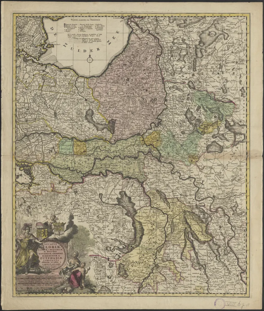
Ducatus Geldriae Batavae et Hispanicae, in tetrarchias Noviomagi, Arnhemii, Ruremondae & Zutphaniae comitatus
1874-351953
Maps of the Netherlands and Dutch regions
1705
distinctae et editae, a Carolo Allard
A.A. f. [= Abraham Allard fecit.]
Amst. Bat. : Carolus Allard
50 × 60 cm
1 : 320000
300