ℹ You will be redirected to OldMapsOnline.org to finish the export.
Sign in to access WMTS endpoints.
Sign in to download GeoTIFF.
Sign in to export as IIIF.
Compare
Website
Catalog
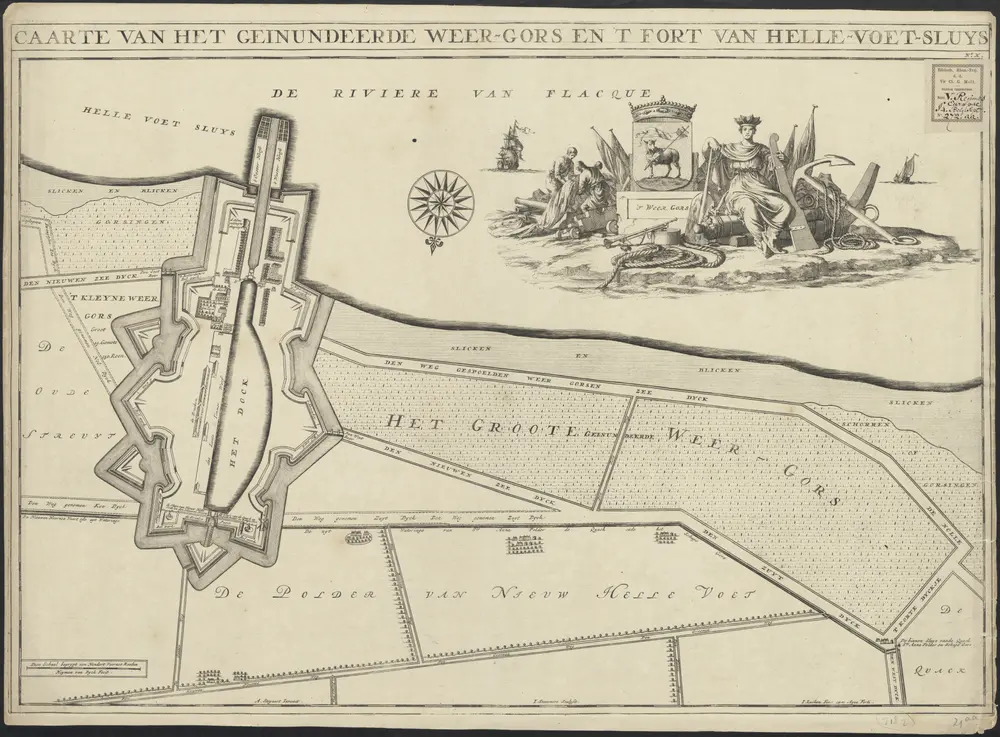
Caarte van het geinundeerde Weer-gors en 't fort van Helle-voet-sluys
1874-350157
Maps of the Netherlands and Dutch regions
1701
Heyman van Dyck fecit
A. Steyaart invenit ; I. Stemmers sculpsit ; I. Luiken fecit cum aqua forti.
[S.l.] : [s.n.]
65 × 49 cm
1 : 3000
300