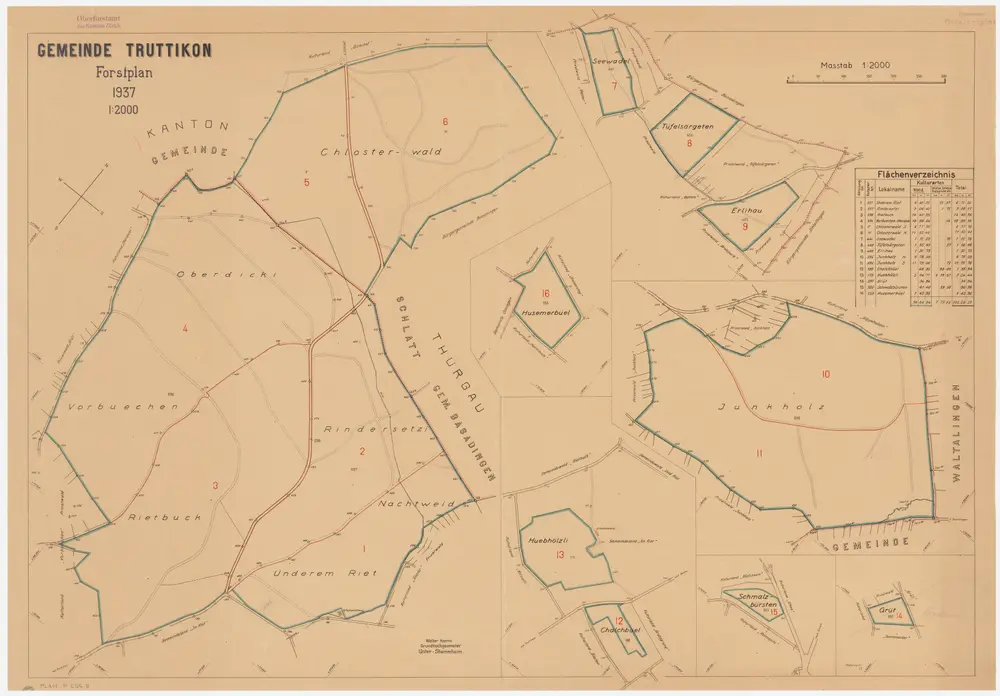
Mit Verzeichnis der Flächeninhalte der 16 Waldabteilungen. Mit handschriftlichen Eintragungen und Einzeichnungen, welche nach der eigentlichen Zeichnung des Plans, d. h. nach 1937, mit Grafitstift angebracht wurden.
Depicted date
From 1937-01-01 to 1950-12-31
Creator
Hoerni, Walter, Grundbuchgeometer, in Unterstammheim