ℹ You will be redirected to OldMapsOnline.org to finish the export.
Sign in to access WMTS endpoints.
Sign in to download GeoTIFF.
Sign in to export as IIIF.
Compare
Website
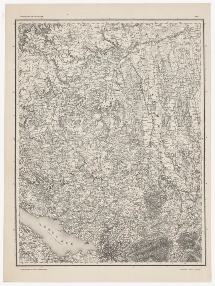
Generalkarte von Württemberg: Blatt IV
PLAN_H_41_4
Maps
From 1859-01-01 to 1859-12-31
Terrainzeichnung: Bach, Topograf und Hauptmann Lithografie: Rebmann und Sommer Herausgeber: K. statistisch-topografisches Büro
52.5 × 69.5 cm
1 : 1500000
300