ℹ You will be redirected to OldMapsOnline.org to finish the export.
Sign in to access WMTS endpoints.
Sign in to download GeoTIFF.
Sign in to export as IIIF.
Compare
Website
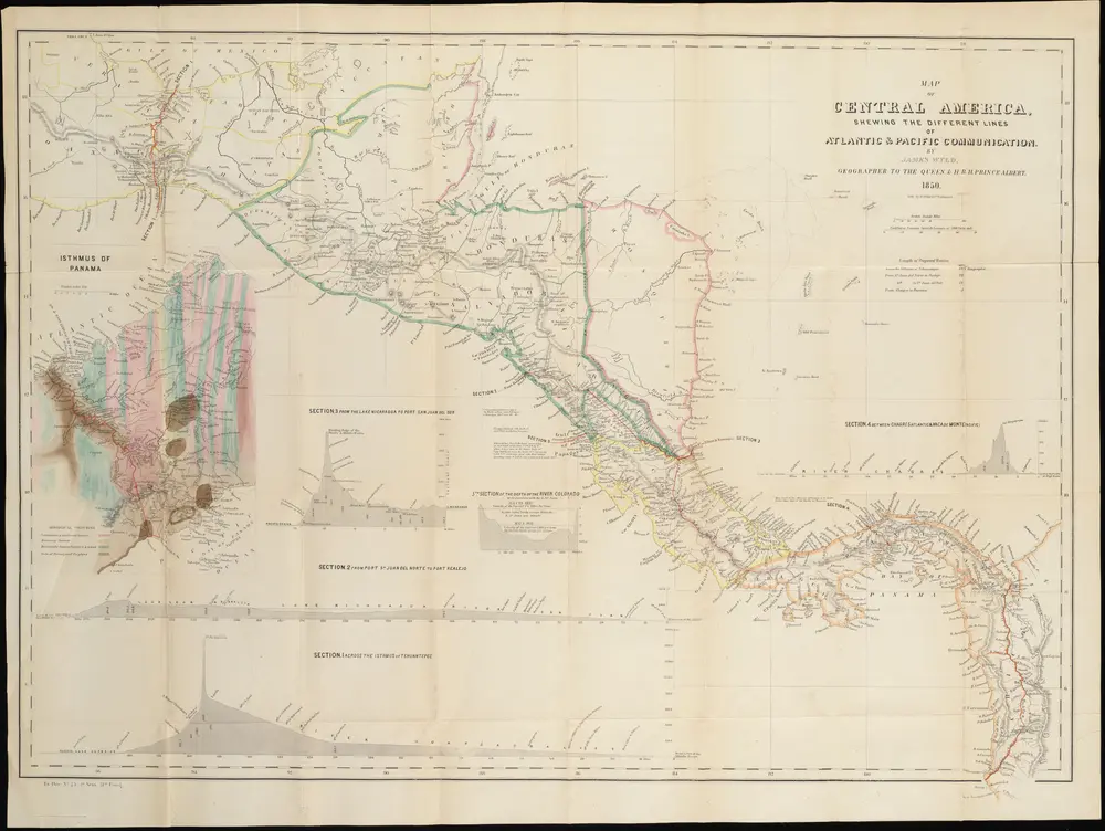
Before the Canal: mapping overland routes in Central America.
NL-00658
Neatline
1850
James Wyld