Sign in to access WMTS endpoints.
Sign in to download GeoTIFF.
Sign in to export as IIIF.
Compare
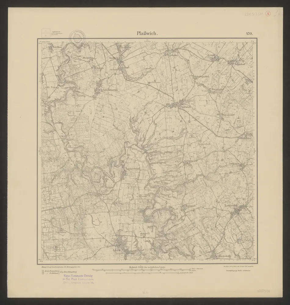
11825673 @ Topographische Karte 1:25 000 (Meßtischblatt) cz. wsch. (Ostdeutschland) /1870 - 1945/
http://maps.mapywig.org/m/German_maps/series/025K_TK25/1785_%28470%29_Plasswich_1913_nnxV3RW_BN_Sygn.ZZK_S-3_371_A
public
1913
Königlich-Preussische Landesaufnahme
1 : 1:25 000