Sign in to access WMTS endpoints.
Sign in to download GeoTIFF.
Sign in to export as IIIF.
Compare
Website
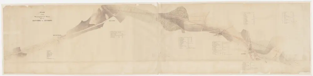
Wiesendangen, Dinhard: Projektierte Strasse vom Wiesendanger Ried über Kreuzstrass, Ruchegg, Grossacker bis Attikon; Situationsplan
PLAN_S_147
Maps
Mit Angabe der Namen von Grundeigentümern. Ohne Datumsangabe.
From Chr.-01-01 to 1893-12-31
300 × 70.5 cm
1 : 1000
200