Sign in to access WMTS endpoints.
Sign in to download GeoTIFF.
Sign in to export as IIIF.
Compare
Website
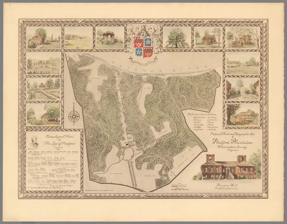
Pictorial Chart and Topographic Map of Stratford Plantation, Westmoreland County, Virginia.
12109.000
missinglocation
Pictorial Chart and Topographic Map of Stratford Plantation, Westmoreland County, Virginia. (inset) Genealogical Chart of the Lees of Stratford.
1955
Smith, Karl
51 × 37 cm
1 : 9600