ℹ You will be redirected to OldMapsOnline.org to finish the export.
Sign in to access WMTS endpoints.
Sign in to download GeoTIFF.
Sign in to export as IIIF.
Compare
Website
11088958416
flickr2
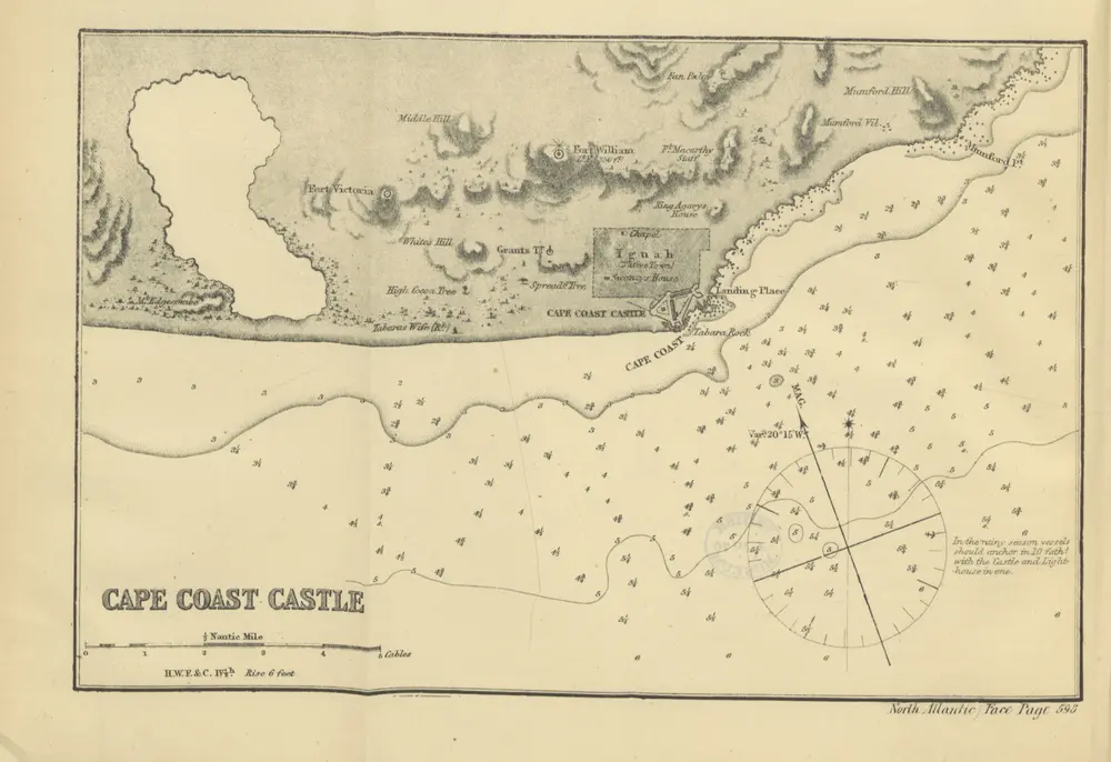
Book: [North Atlantic Directory. The physical geography and meteorology of the North Atlantic; together with sailing directions for the principal ports and harbours of Europe, N. America, N. Africa, and the N. Atlantic Islands, etc.]
1869
ROSSER, William Henry.
J. Imray & Son
315.5 × 216.3 cm