Sign in to access WMTS endpoints.
Sign in to download GeoTIFF.
Sign in to export as IIIF.
Compare
Website
Catalog
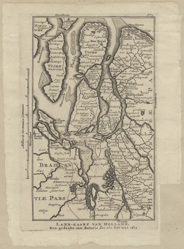
Land-kaart van Holland, een gedeelte van Batavie soo als het was 1612.
1874-350593
Maps of the Netherlands and Dutch regions
1612
[S.l.] : [s.n.]
11 × 18 cm
1 : 500000
300