Sign in to access WMTS endpoints.
Sign in to download GeoTIFF.
Sign in to export as IIIF.
Compare
Website
Catalog
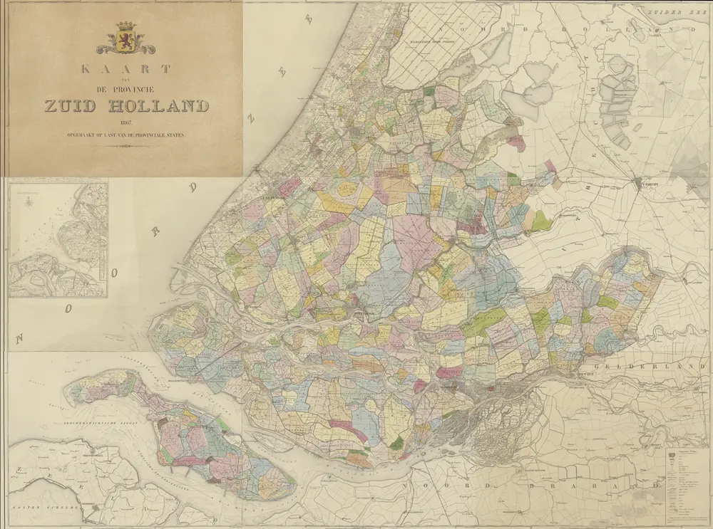
Kaart van de provincie Zuid Holland
1874-352165
Maps of the Netherlands and Dutch regions
1867
opgemaakt op last van de Provinciale Staten.
['s-Gravenhage] : Provinciale Staten
211.6 × 157.3 cm
1 : 50000
300