Project
Community
News
My App
My maps
Carte cataloguée
Rosendale
View on external website
Institution:
United States Geological Survey
Titre complet:
Rosendale
Année de l'image:
1980
Date de publication:
1981
Échelle de la carte:
1:24 000
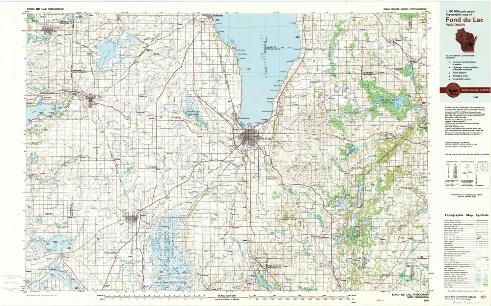
Fond Du Lac
1980
1:100k
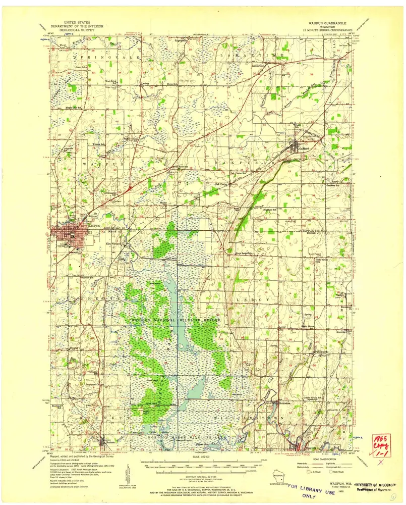
Waupun
1955
1:63k
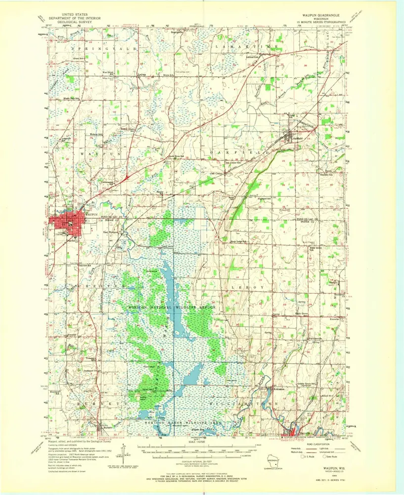
Waupun
1955
1:63k
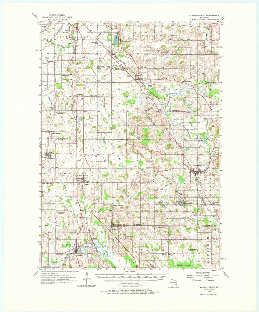
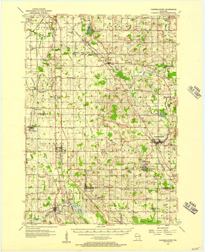
Campbellsport
1955
1:63k
Campbellsport
1955
1:63k
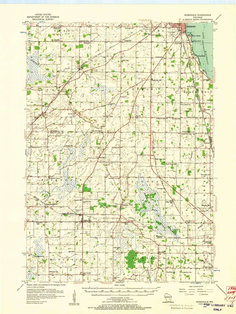
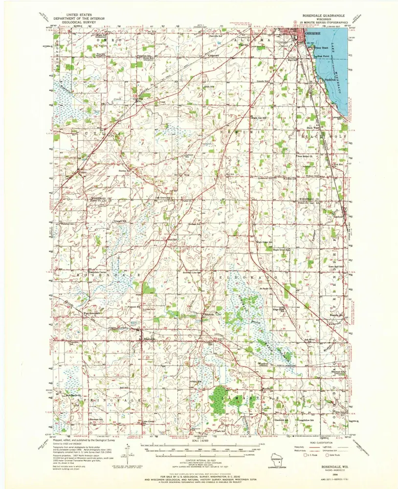
Rosendale
1956
1:63k
Rosendale
1956
1:63k
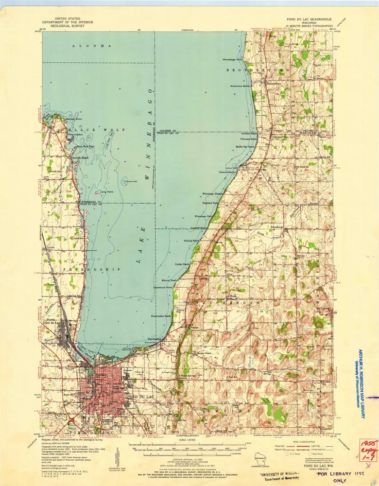
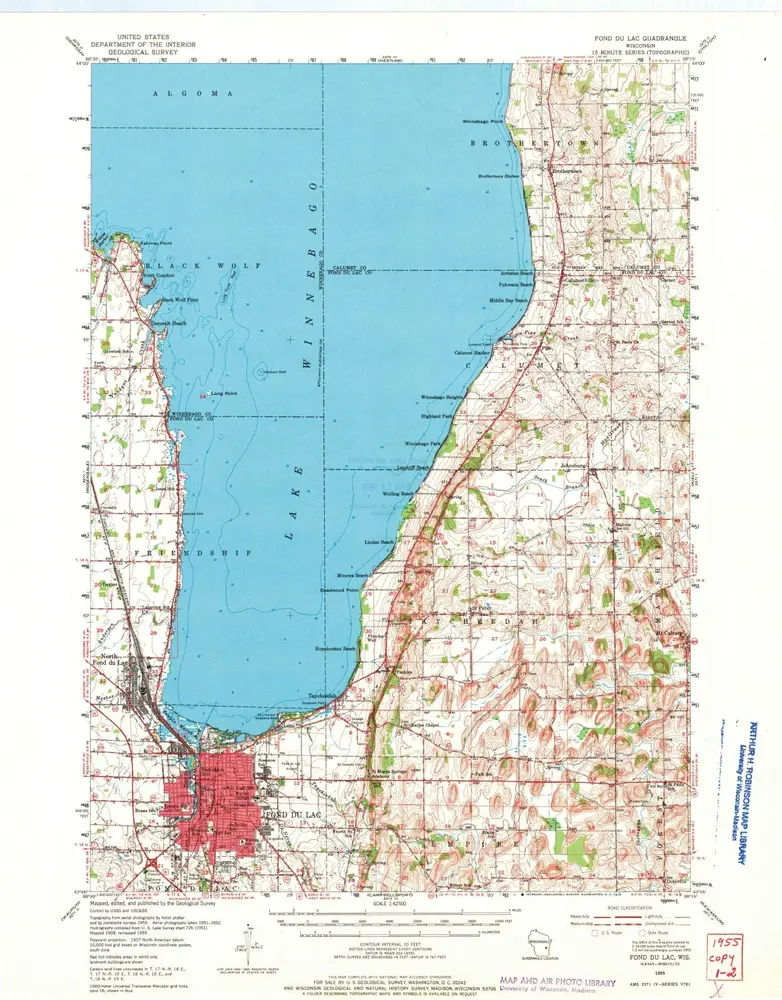
Fond Du Lac
1955
1:63k
Fond Du Lac
1955
1:63k
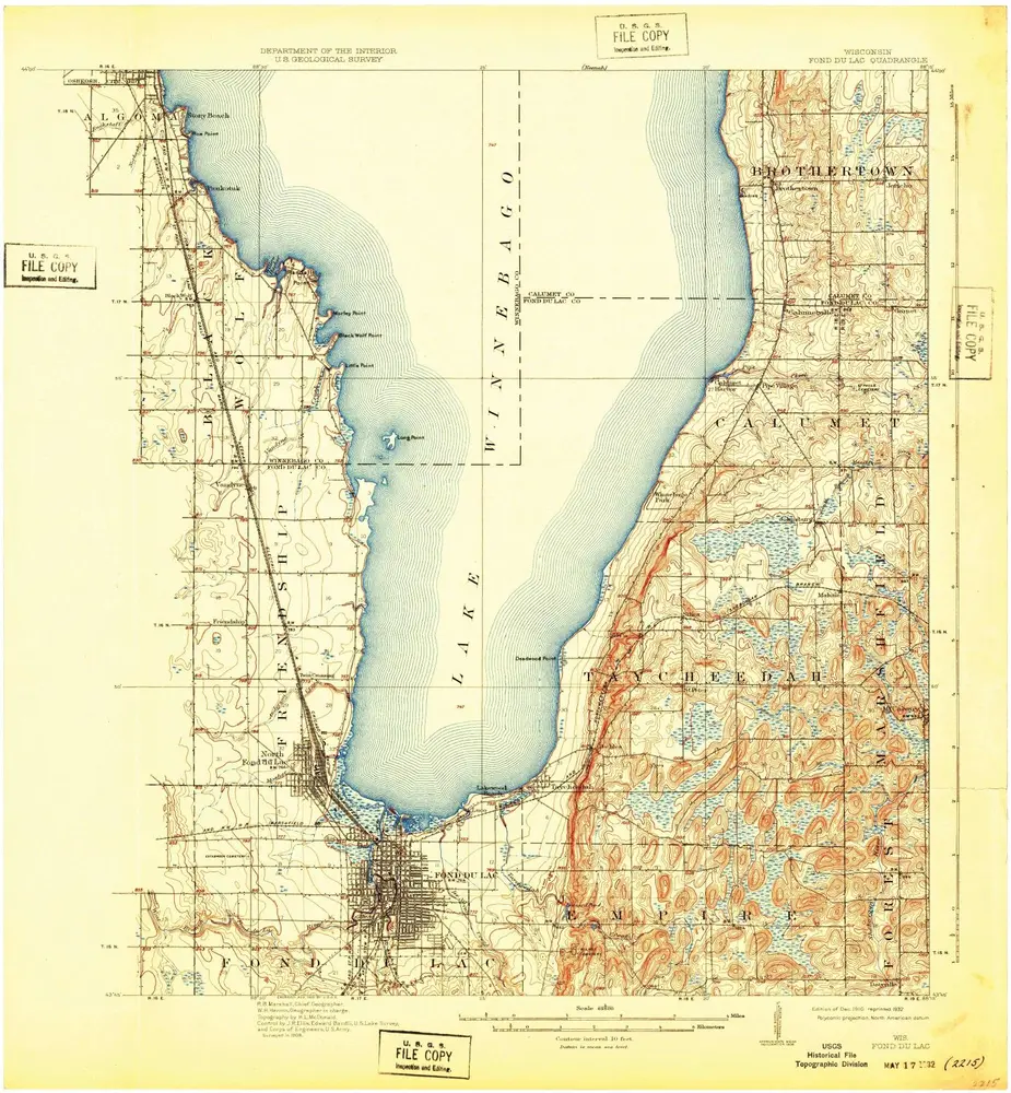
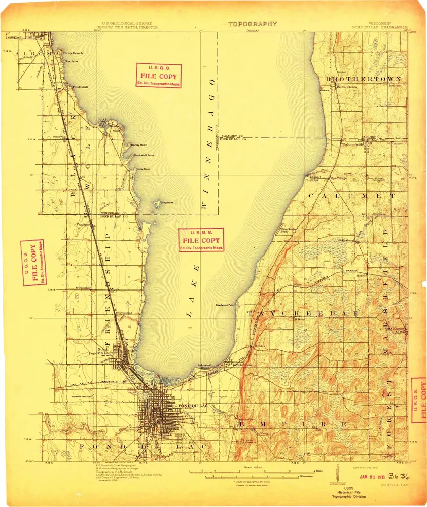
Fond du Lac
1910
1:63k
Fond du Lac
1910
1:63k
L'histoire