Project
Community
News
My App
My maps
Carte cataloguée
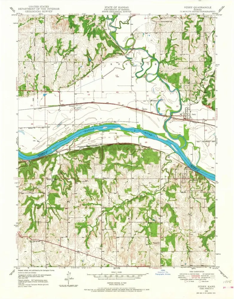
Perry
View on external website
Institution:
United States Geological Survey
Titre complet:
Perry
Année de l'image:
1949
Date de publication:
1968
Échelle de la carte:
1:24 000
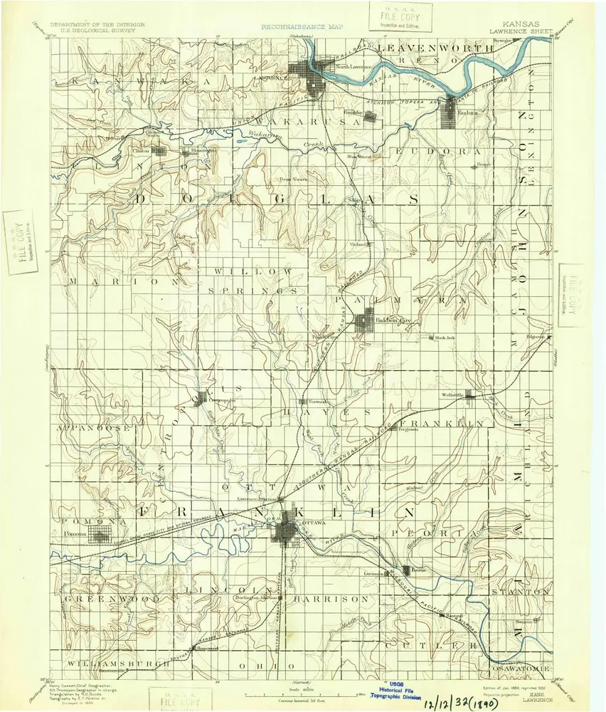
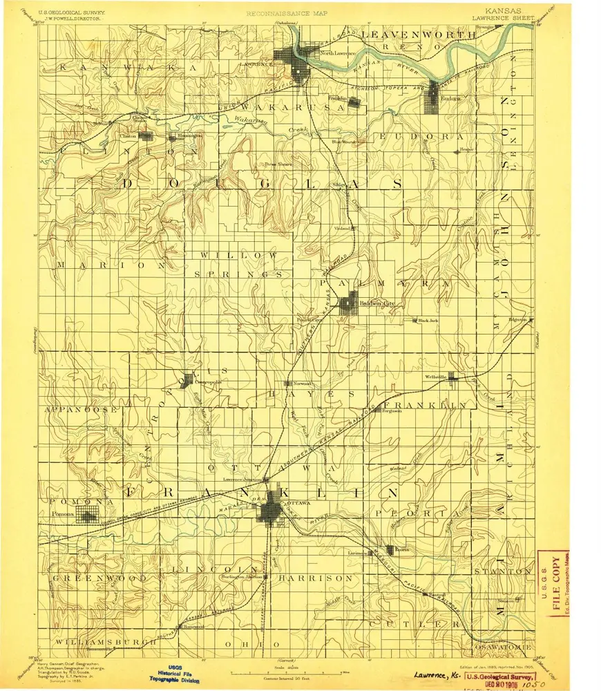
Lawrence
1889
1:125k
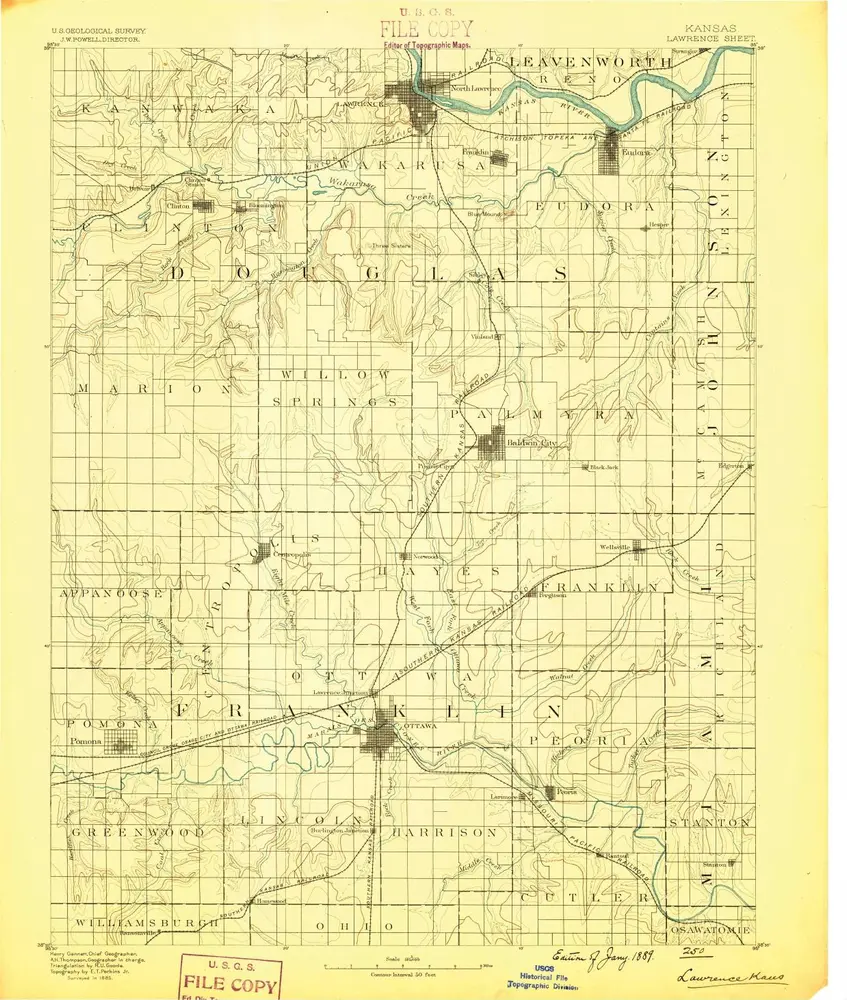
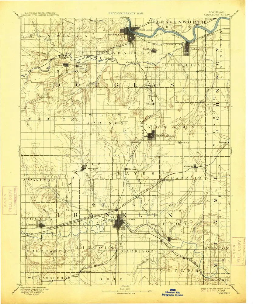
Lawrence
1889
1:125k
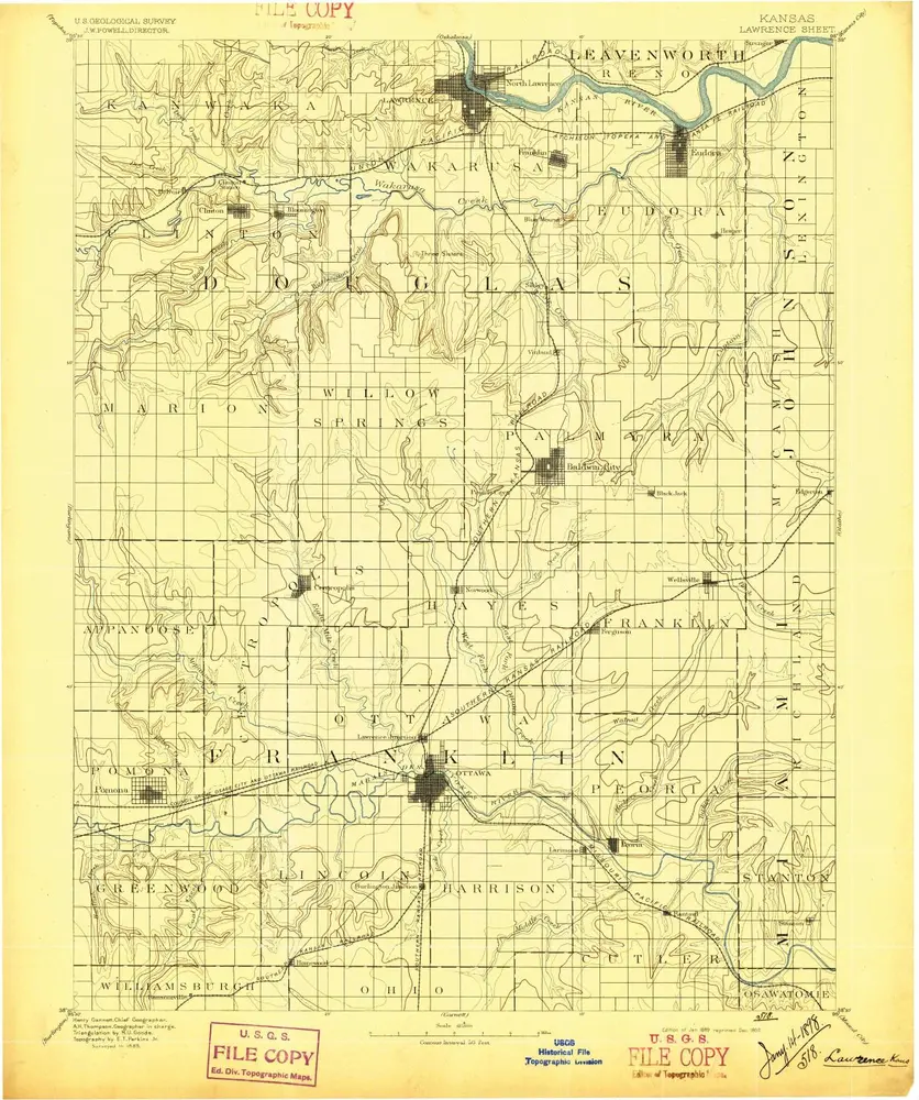
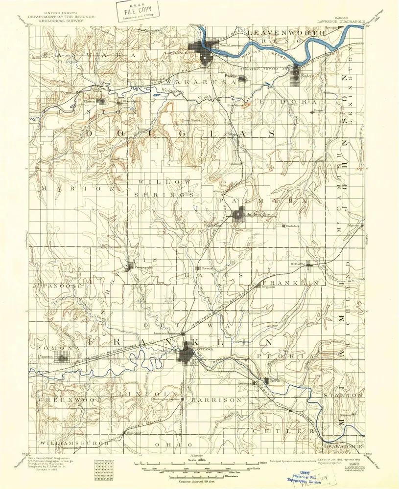
Lawrence
1889
1:125k
Lawrence
1889
1:125k
Lawrence
1889
1:125k
Lawrence
1889
1:125k
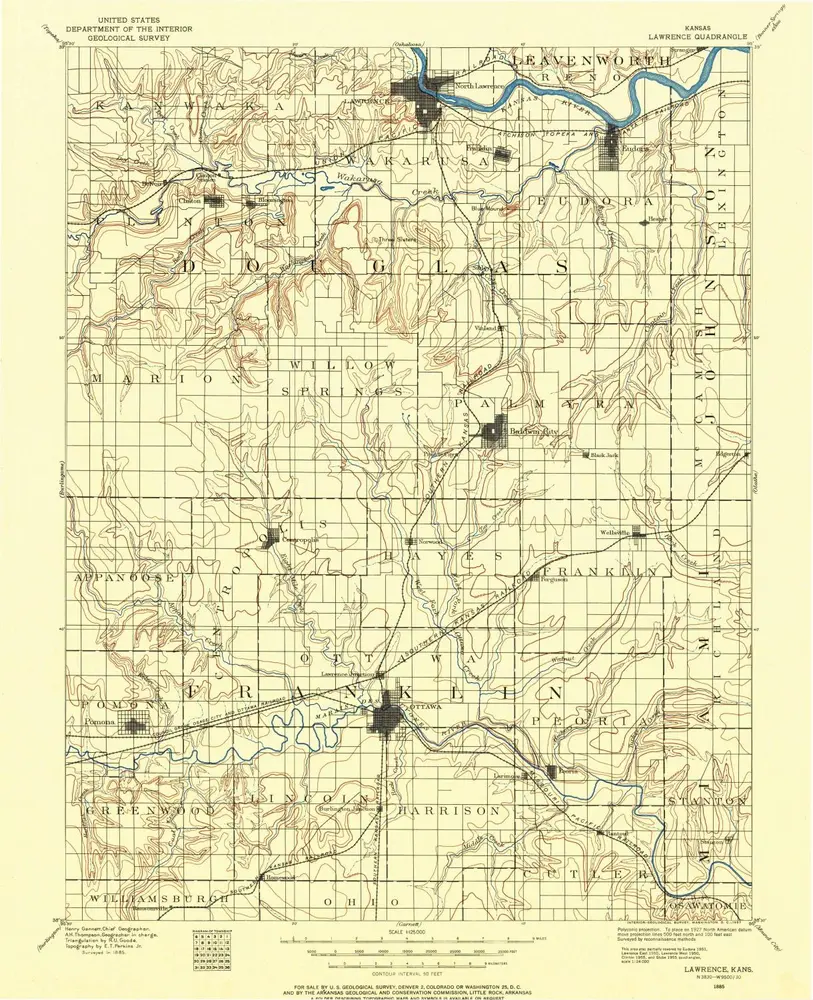
Lawrence
1885
1:125k
Lone Star
1957
1:24k
Lone Star
1957
1:24k
Lone Star
1957
1:24k
Baldwin City
1957
1:24k
Baldwin City
1957
1:24k
Globe
1955
1:24k
Globe
1955
1:24k
L'histoire