Carte cataloguée
Islip
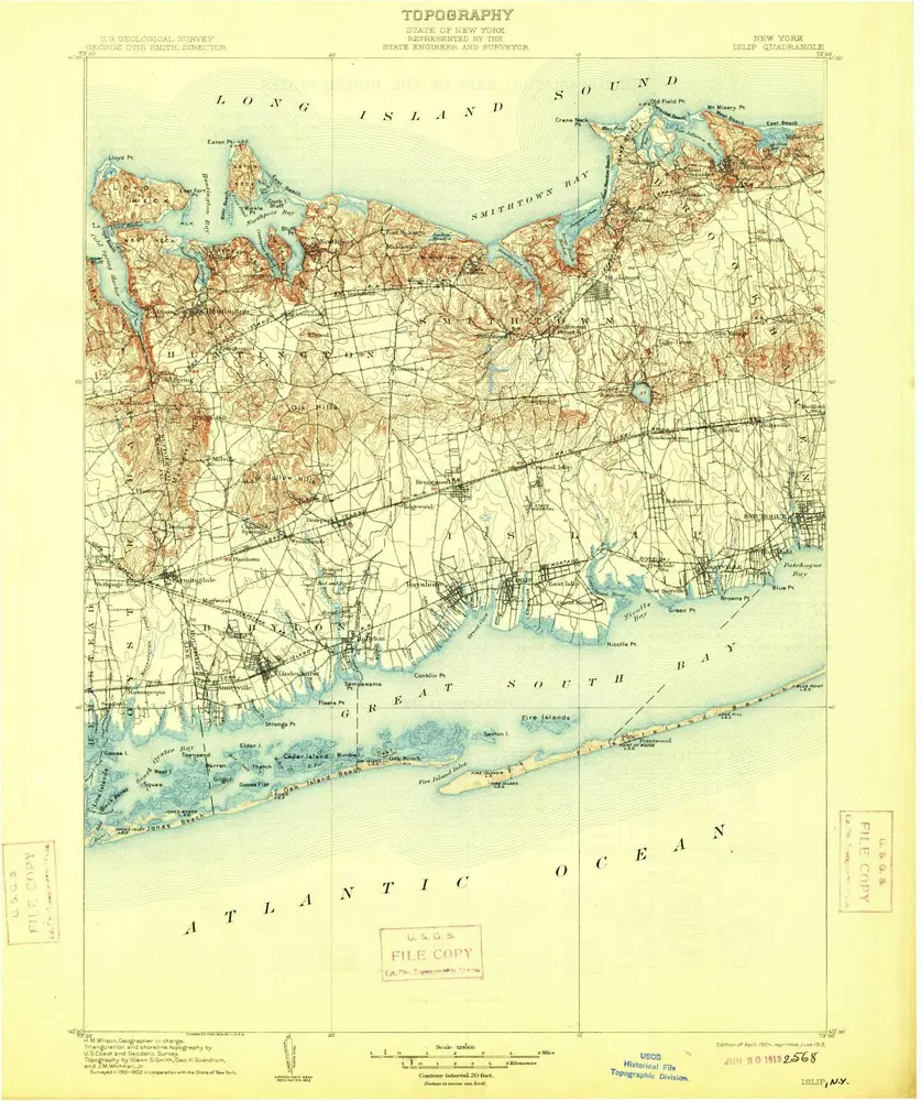

Institution:United States Geological Survey
Titre complet:Islip
Année de l'image:1904
Date de publication:1913
Échelle de la carte:1:125 000
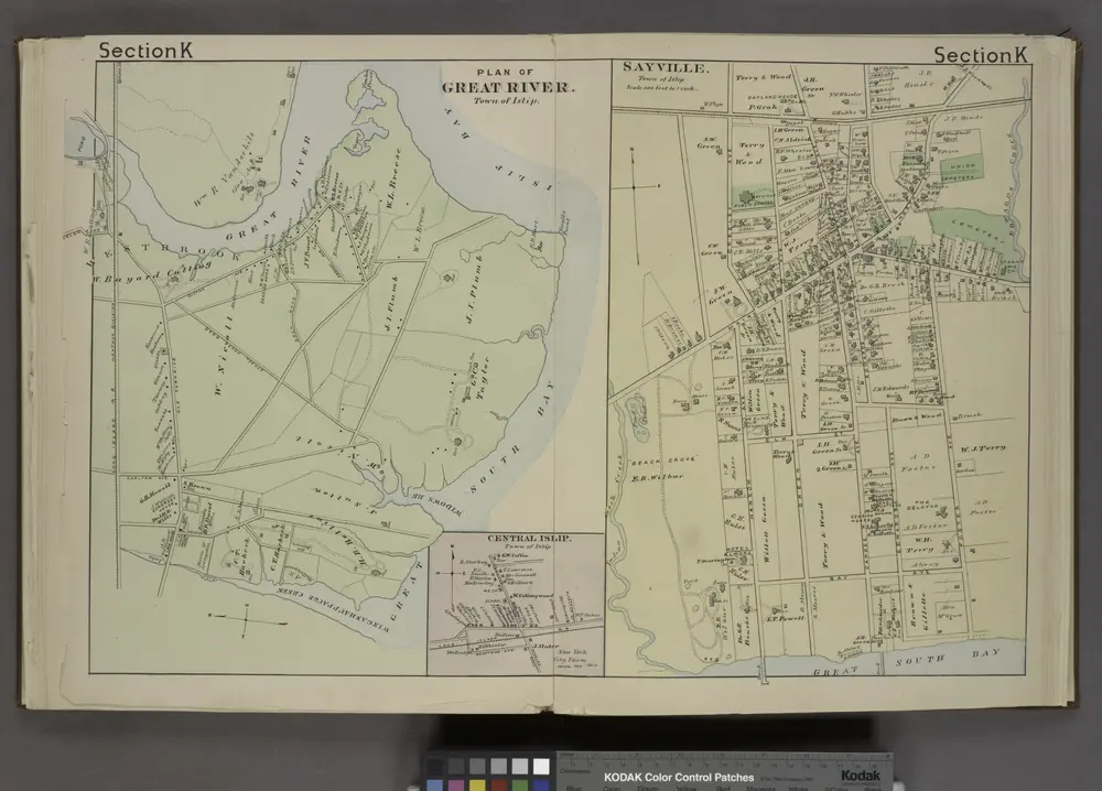
Plan of Great River. [Township]; Central Islip [Village]; Sayville. [Village];
1888
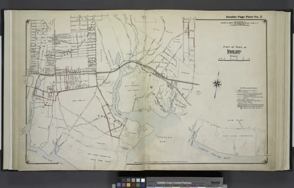
Part of Town of Islip
1915
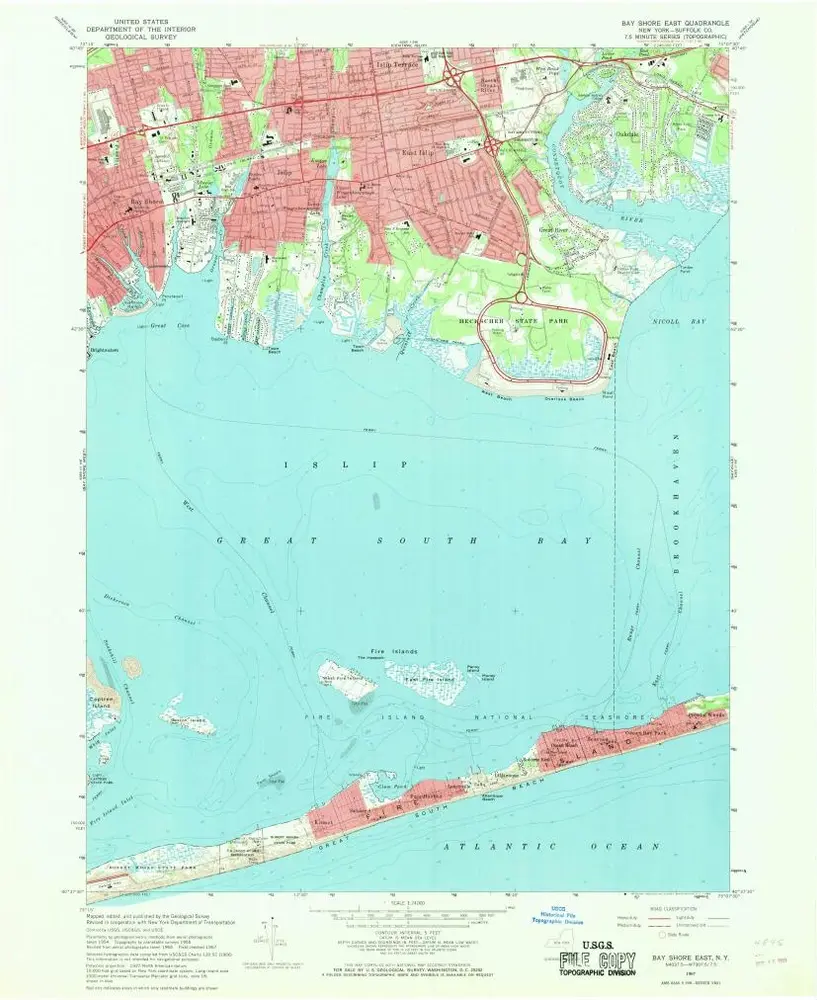
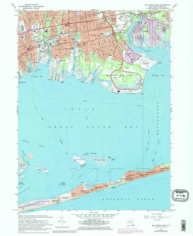
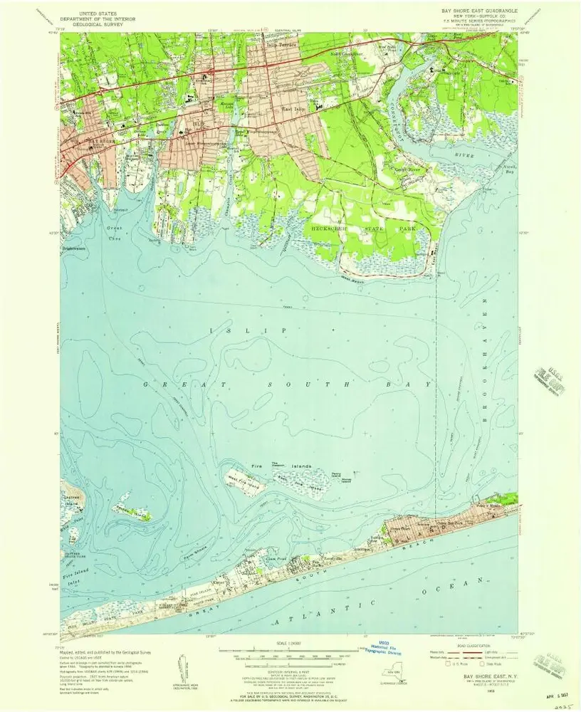
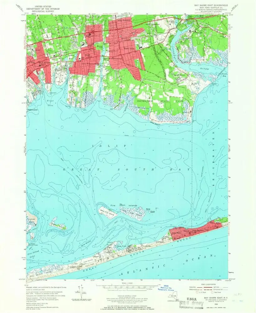
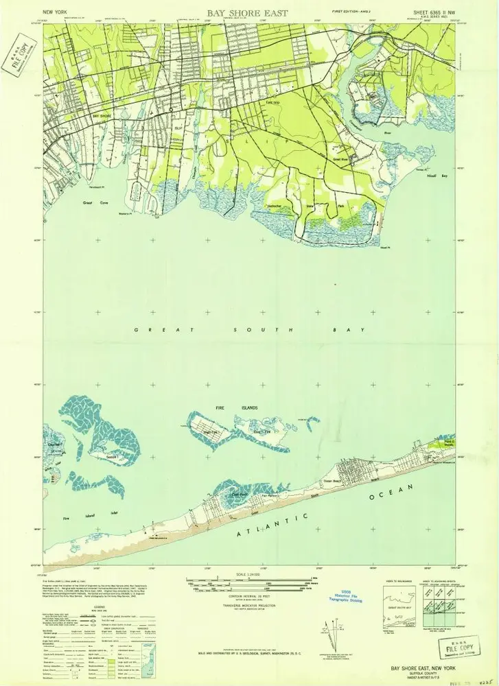
Bay Shore East
1967
1:24k
Bay Shore East
1967
1:24k
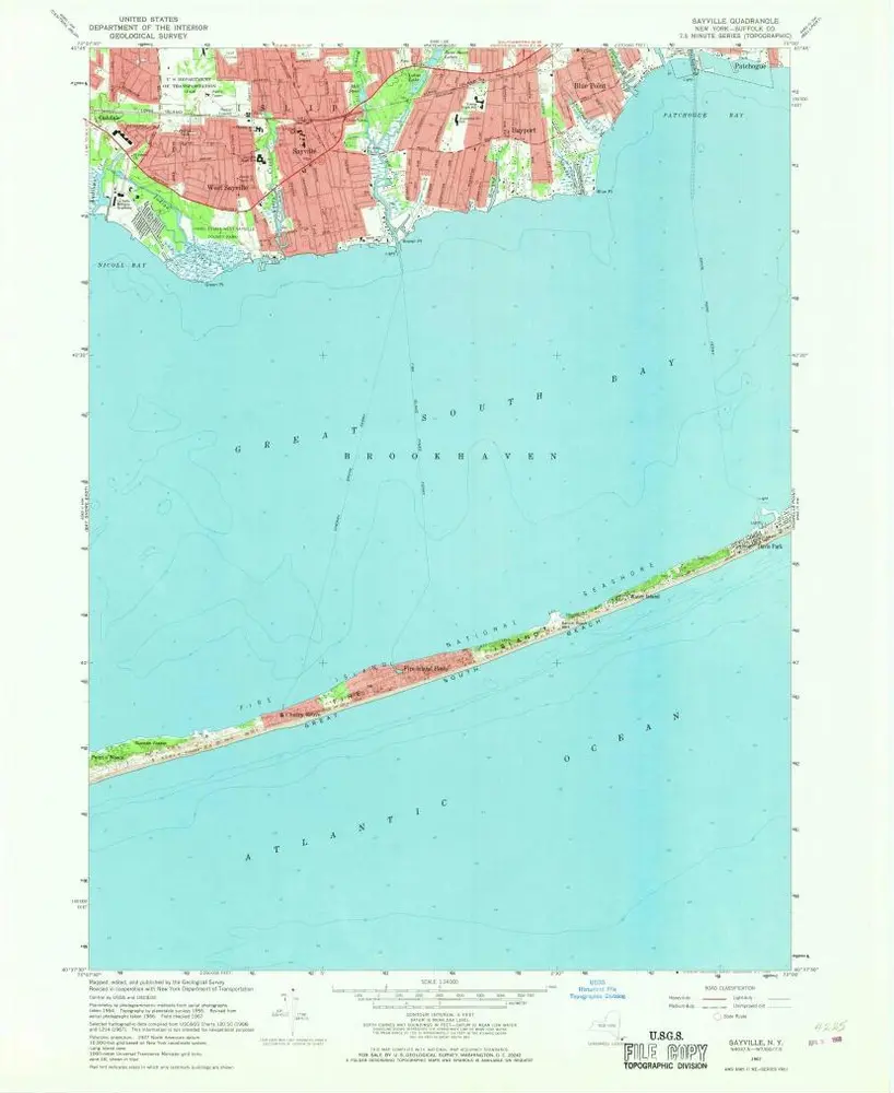
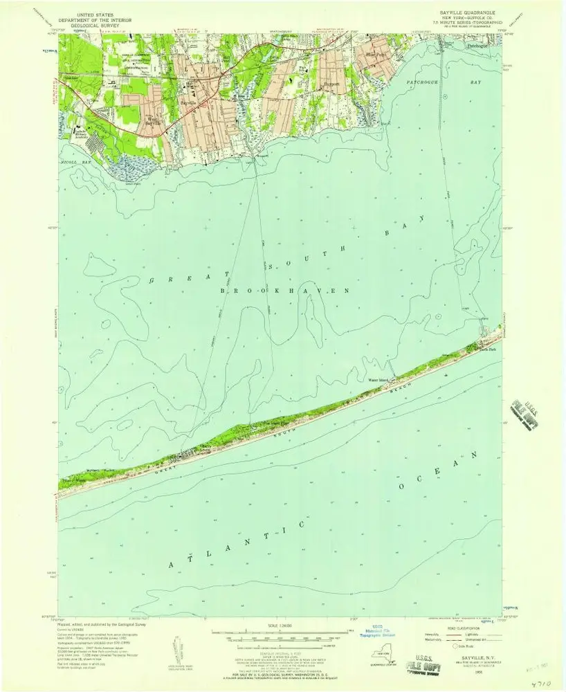
Sayville
1967
1:24k
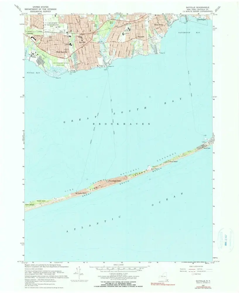
Sayville
1967
1:24k
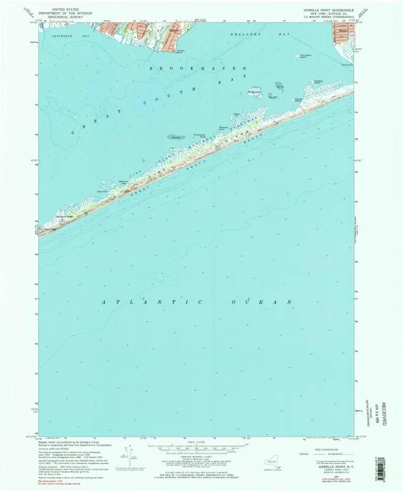
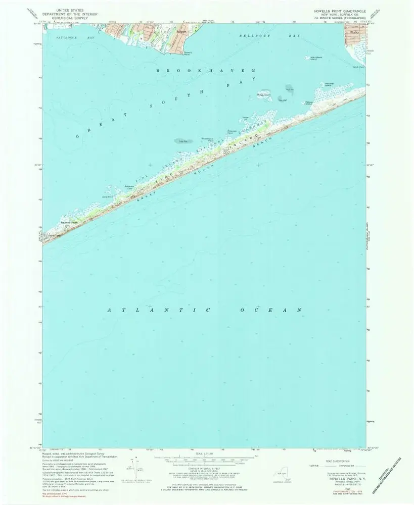
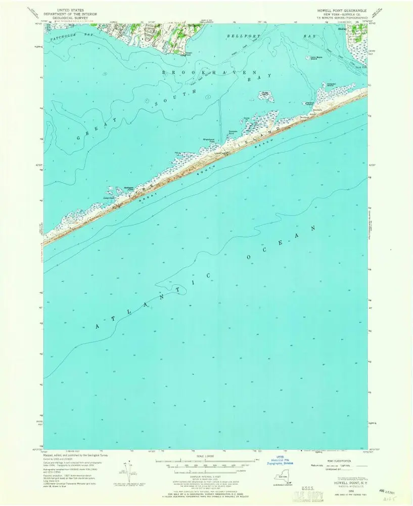
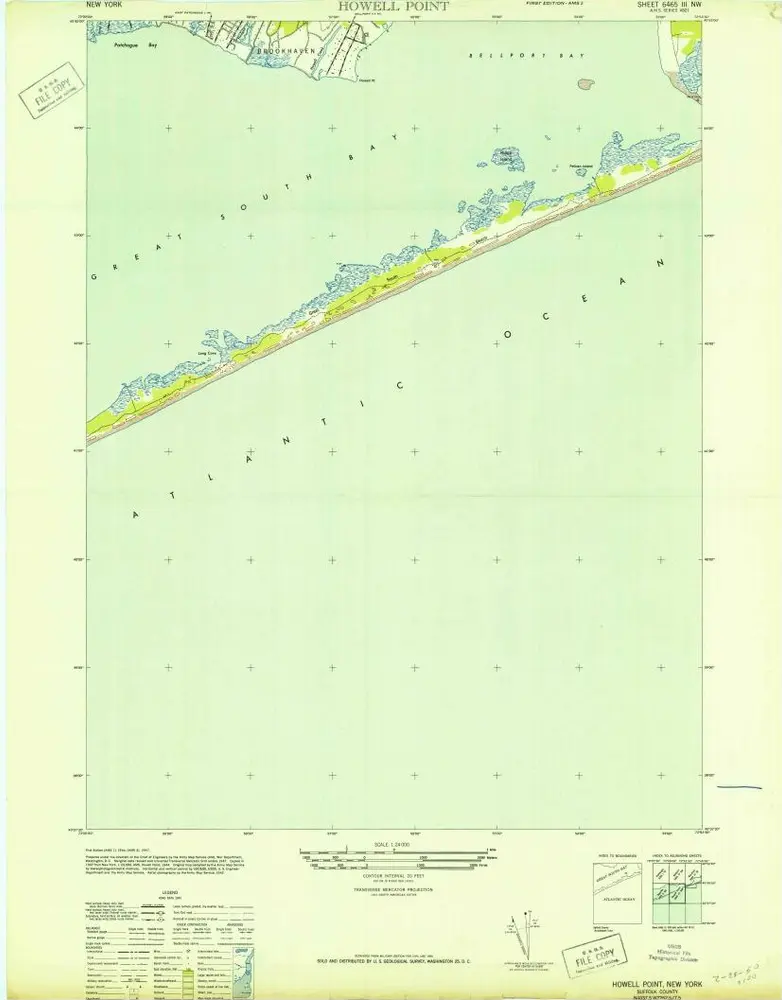
Howells Point
1967
1:24k
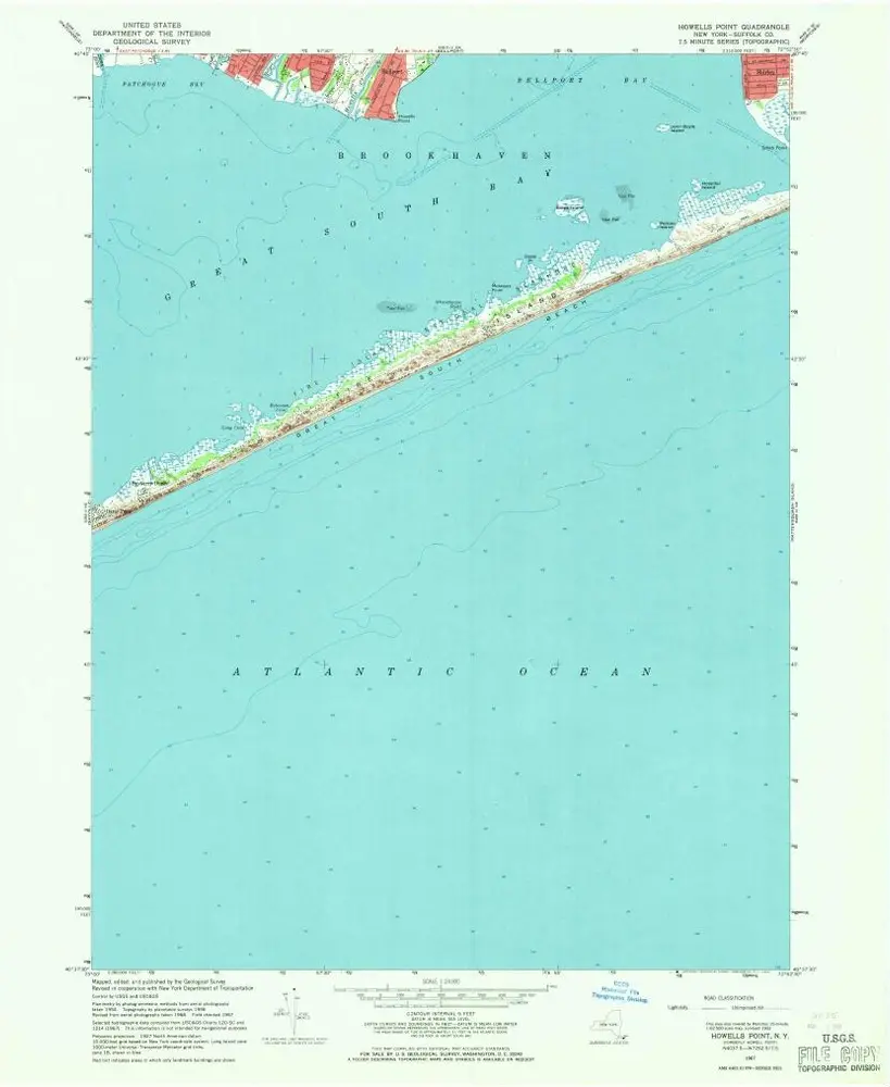
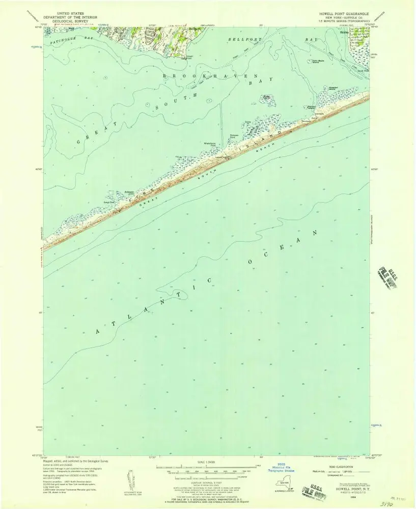
Howells Point
1967
1:24k
Howells Point
1967
1:24k
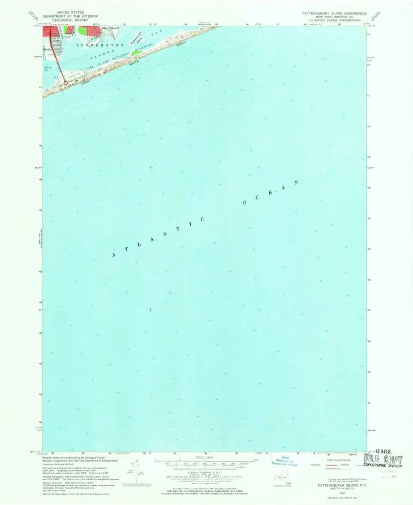
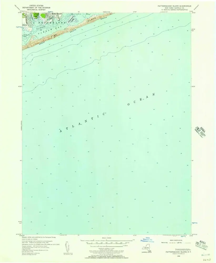
Pattersquash Island
1967
1:24k
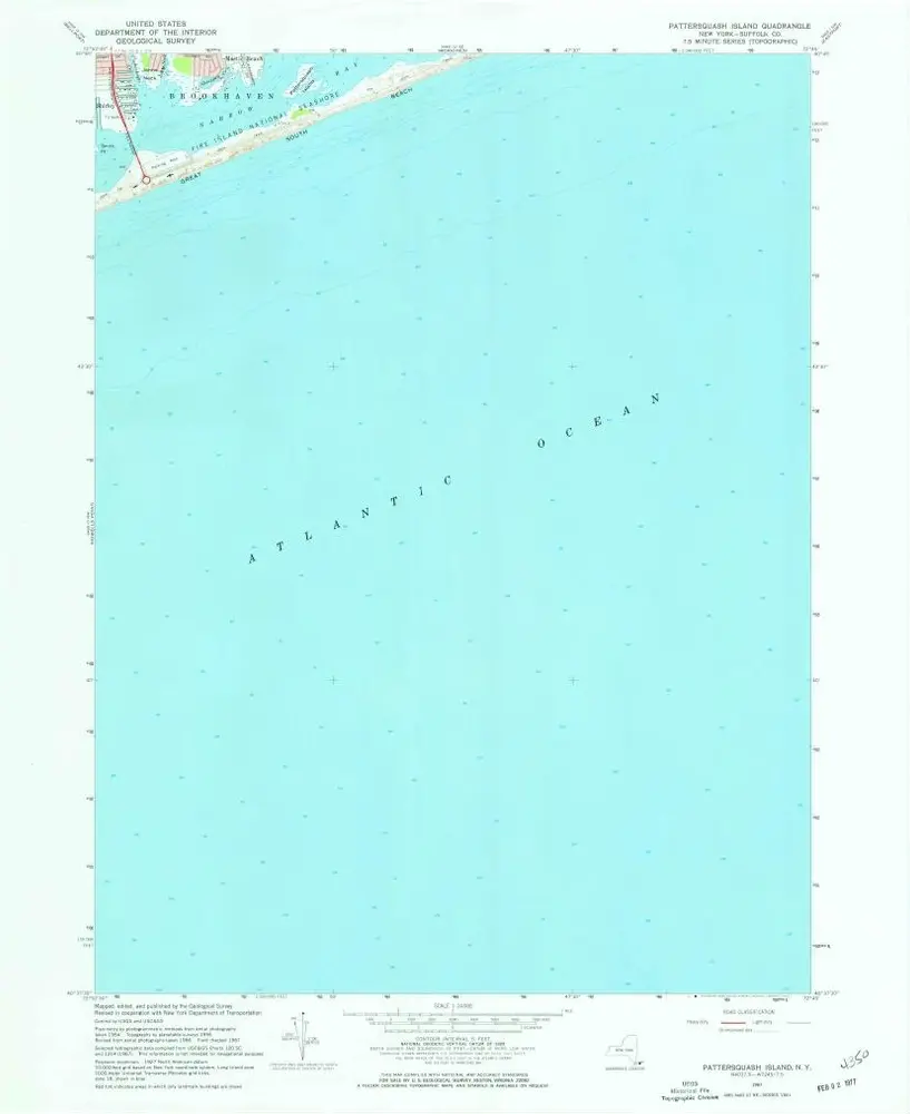
Pattersquash Island
1967
1:24k
Howells Point
1956
1:24k
Howells Point
1956
1:24k
Pattersquash Island
1956
1:24k
Bay Shore East
1955
1:24k
Bay Shore East
1955
1:24k
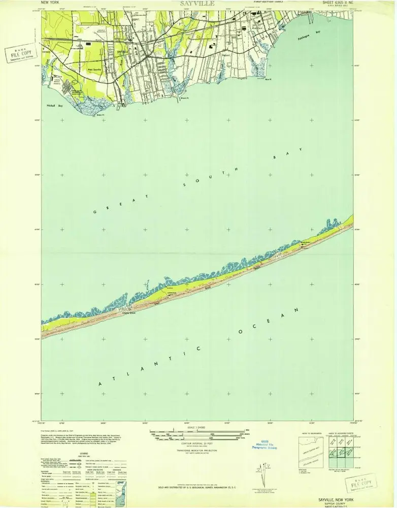
Sayville
1955
1:24k
Sayville
1947
1:24k
Howells Point
1947
1:24k
Bay Shore East
1944
1:24k