Carte cataloguée
Nesquehoning
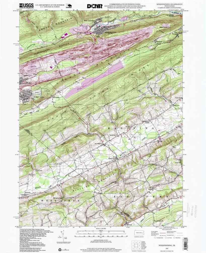

Institution:United States Geological Survey
Titre complet:Nesquehoning
Année de l'image:1997
Date de publication:1999
Échelle de la carte:1:24 000
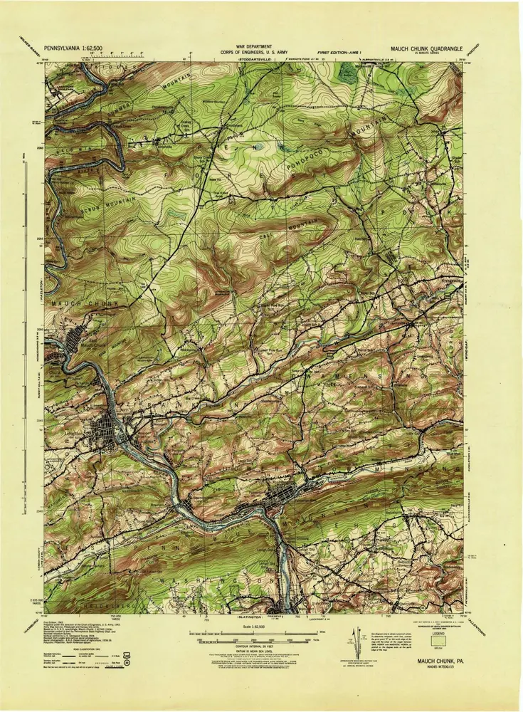
Mauch Chunk
1943
1:63k
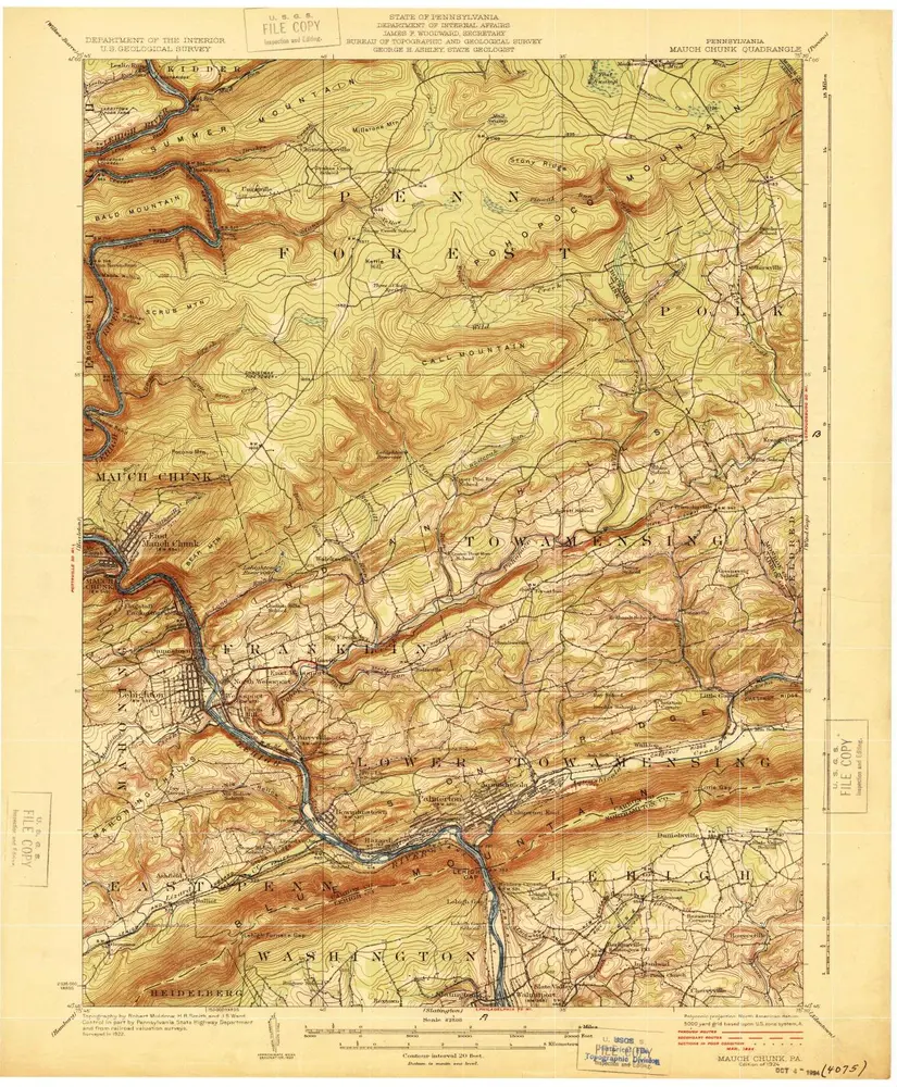
Mauch Chunk
1924
1:63k
Mauch Chunk
1924
1:63k
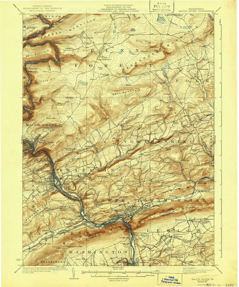
Mauch Chunk
1924
1:63k
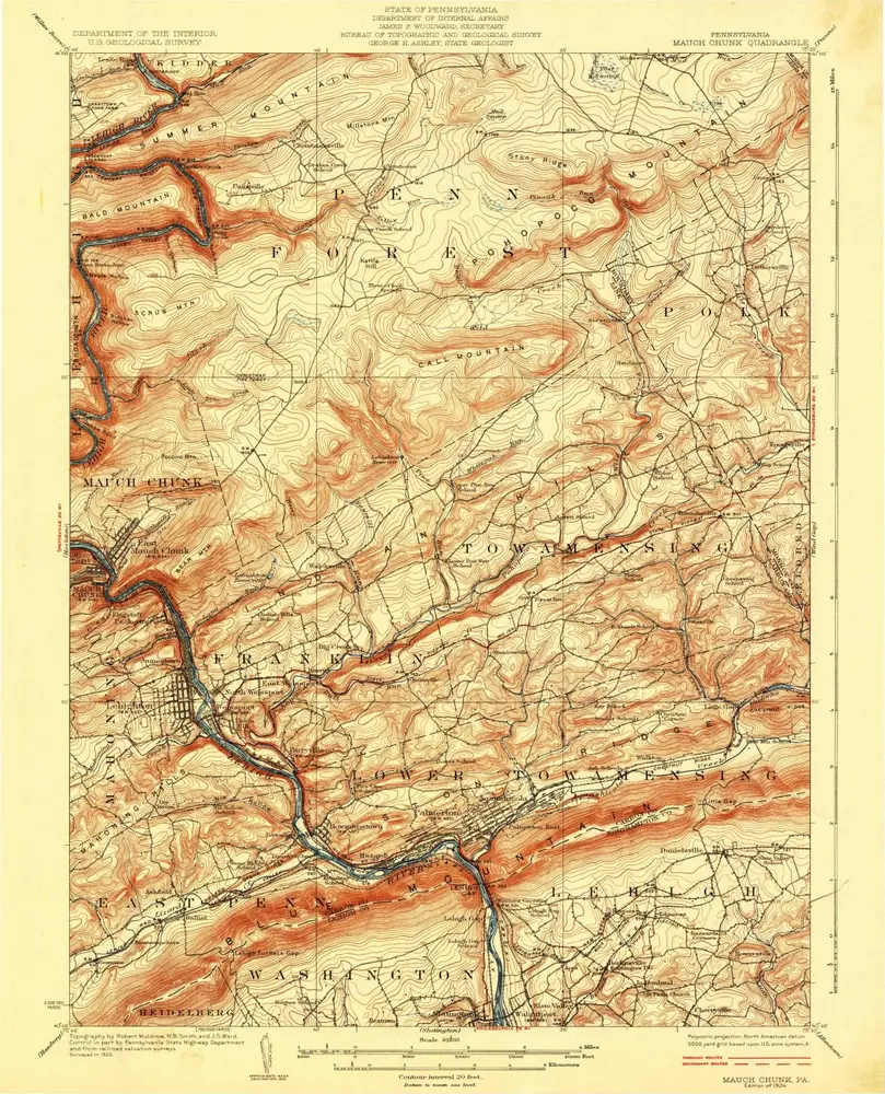
Mauch Chunk
1924
1:63k
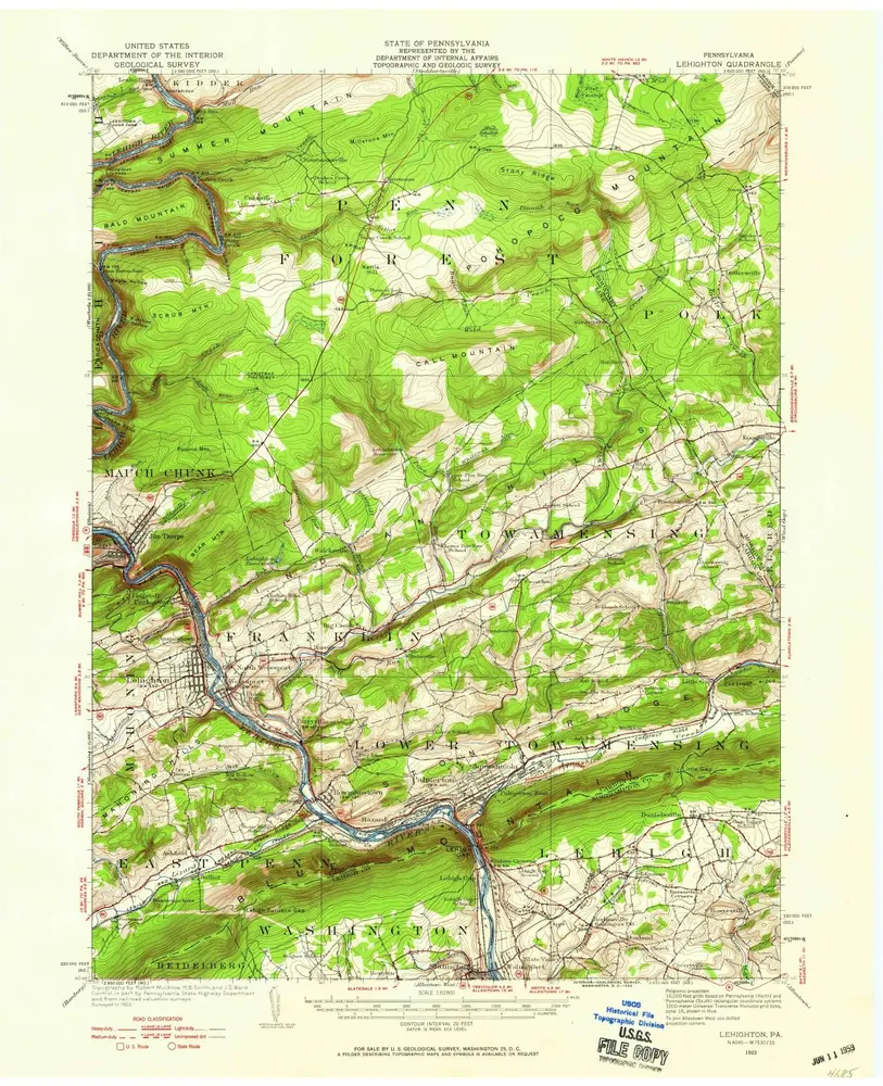
Lehighton
1922
1:63k
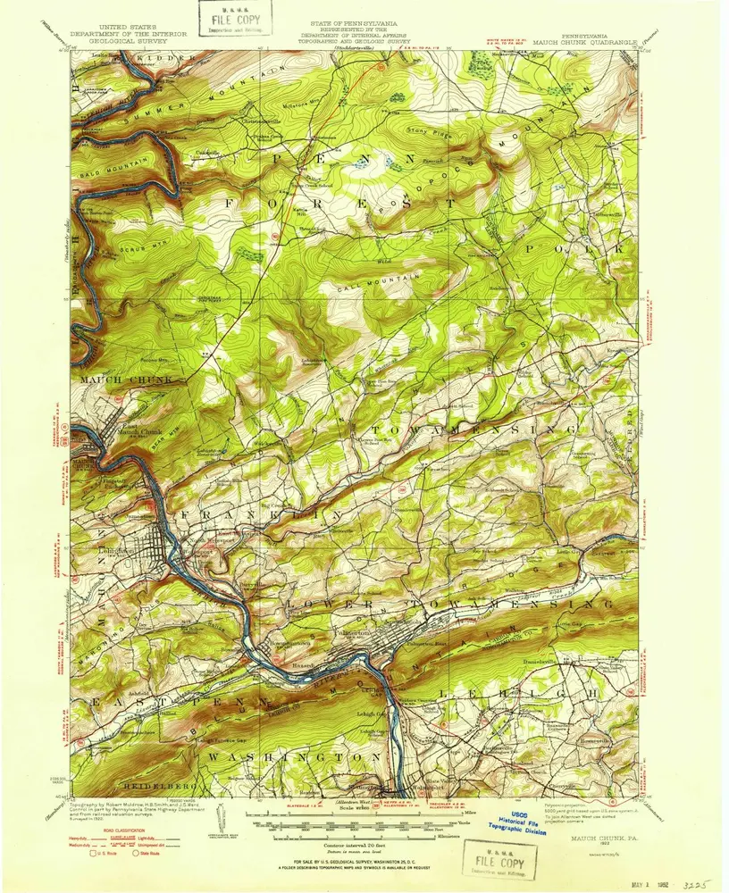
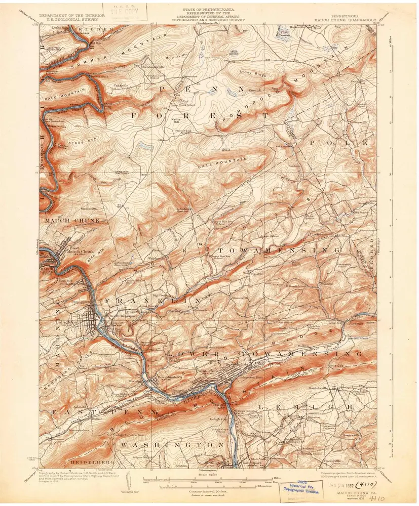
Mauch Chunk
1922
1:63k
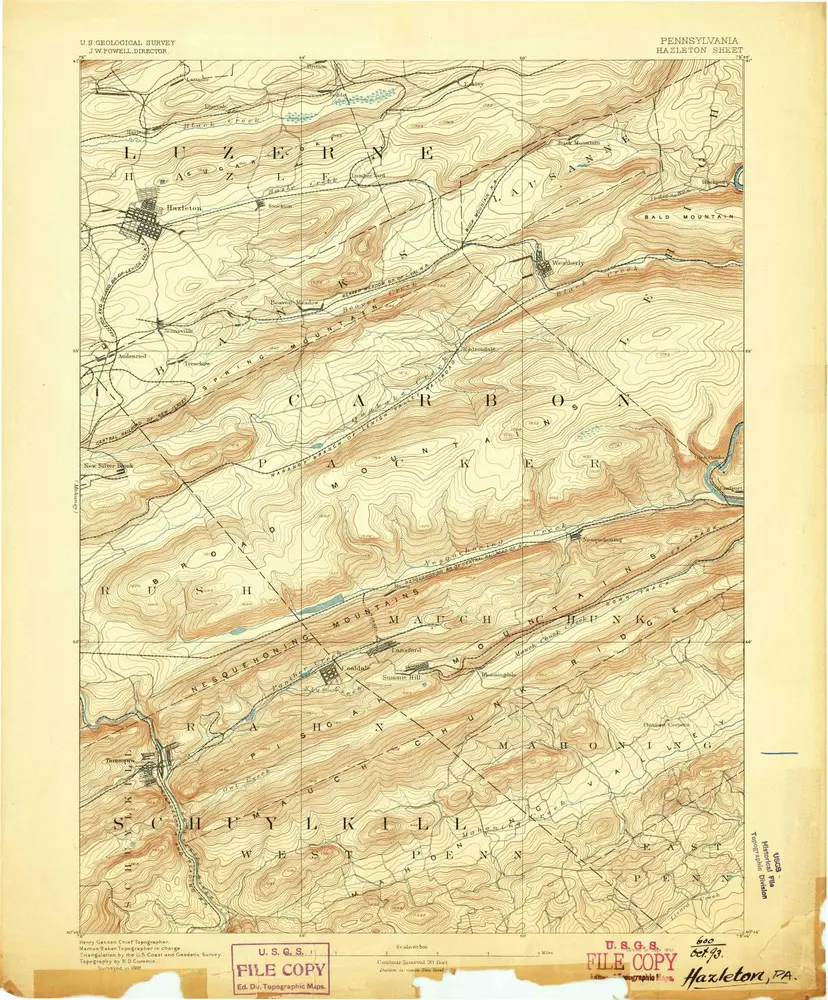
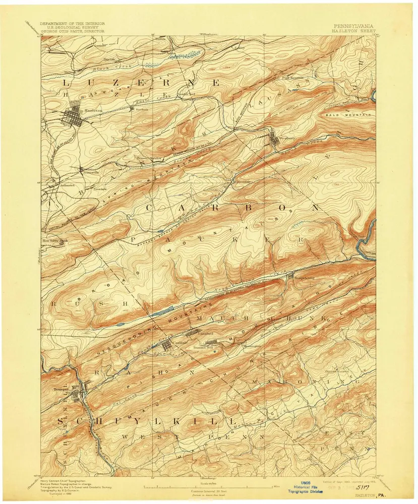
Hazleton
1893
1:63k
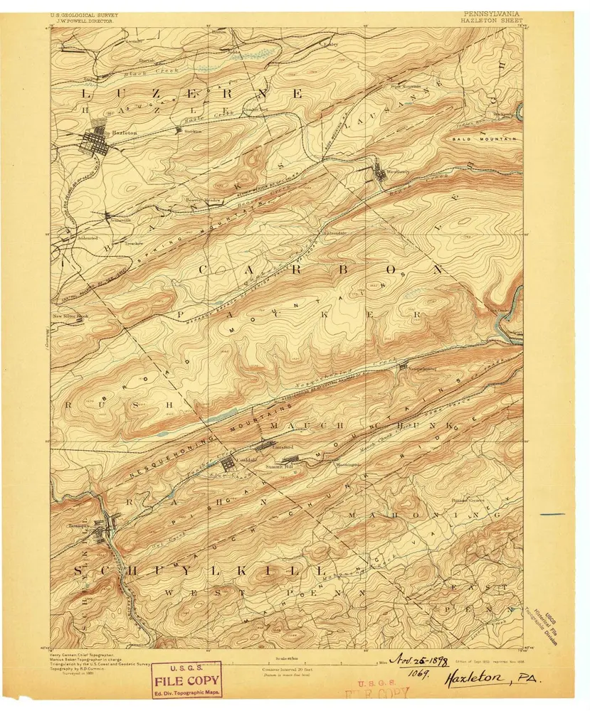
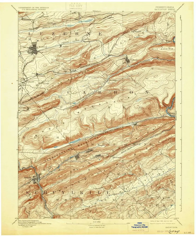
Hazleton
1893
1:63k
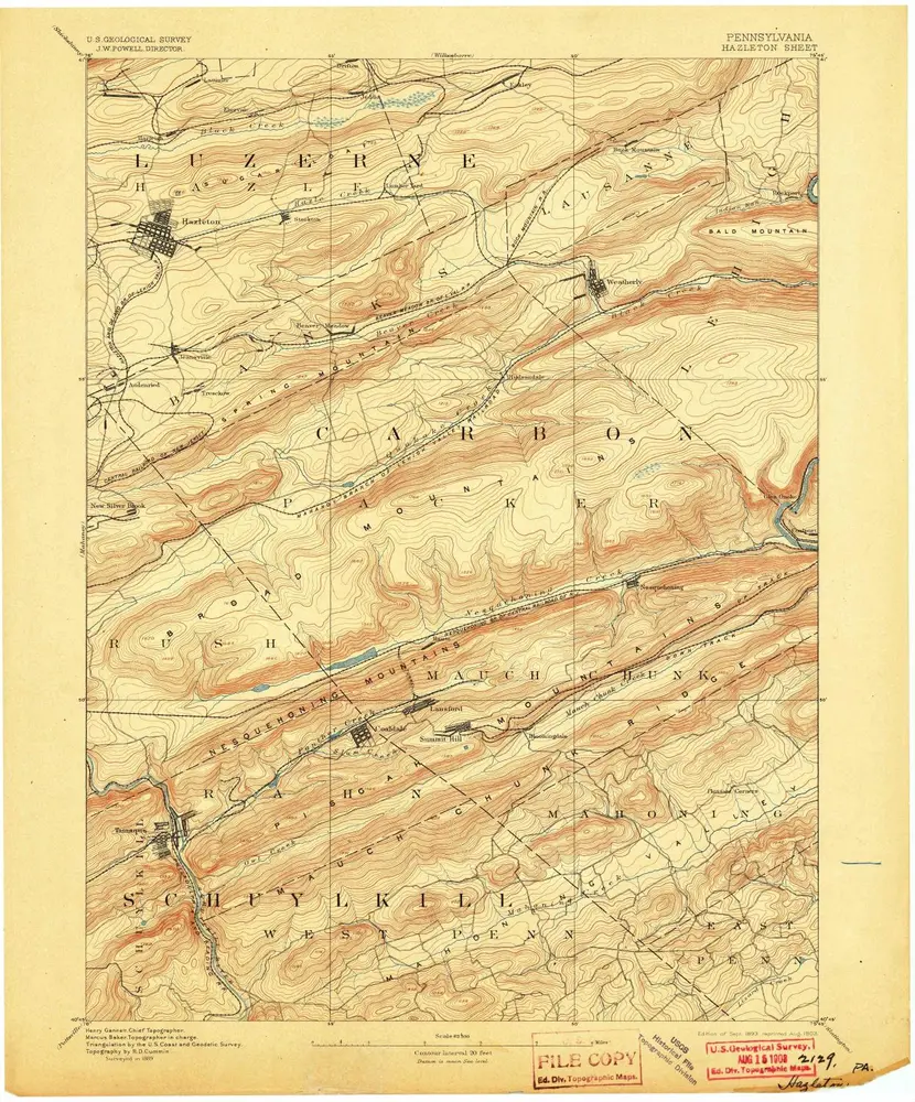
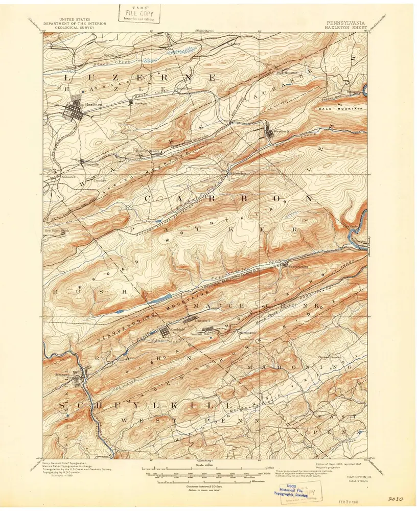
Hazleton
1893
1:63k
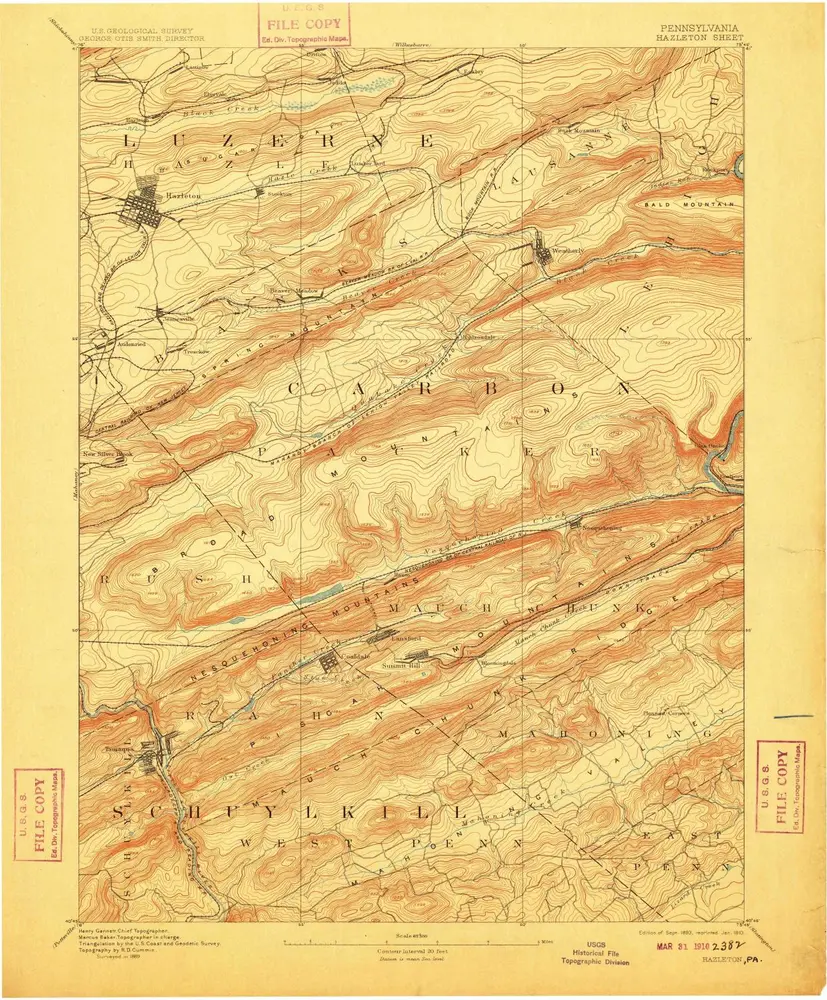
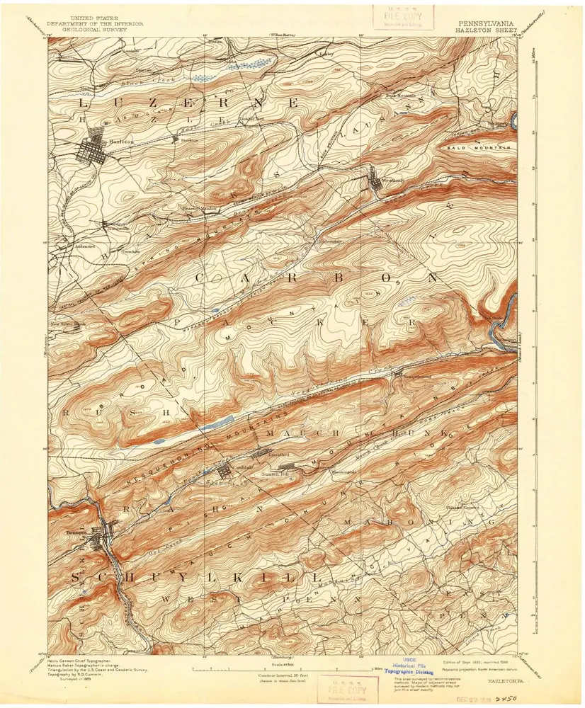
Hazleton
1893
1:63k
Hazleton
1893
1:63k
Hazleton
1893
1:63k
Hazleton
1893
1:63k
Hazleton
1893
1:63k
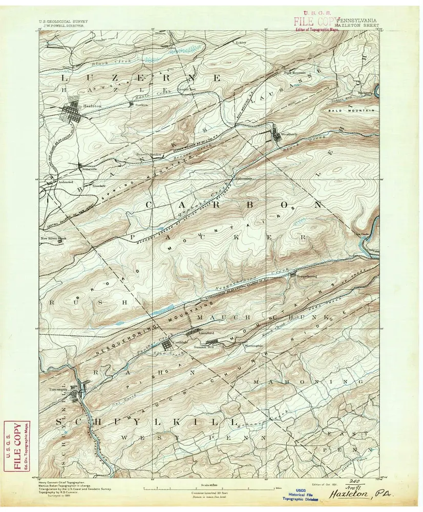
Hazleton
1891
1:63k
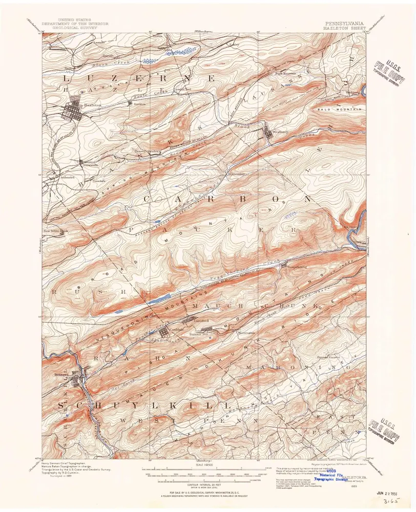
Hazleton
1889
1:63k