Carte cataloguée
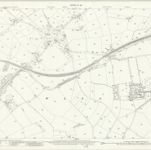
Staffordshire LVIII.2 (includes: Burntwood; Hammerwich; Lichfield St Michael; Wall) - 25 Inch Map

Institution:National Library of Scotland
Titre complet:Staffordshire LVIII.2 (includes: Burntwood; Hammerwich; Lichfield St Michael; Wall) - 25 Inch Map
Année de l'image:1921
Date de publication:1923
Éditeur:Ordnance Survey
Échelle de la carte:1:2 500
An improved map of the county of Stafford
1749
Bowen; Hinton
Staffordiensis comitatvs; vulgo Stafford Shire
1646
Blaeu
n/a
1742
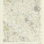
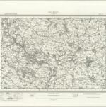
Stafford - OS One-Inch Map
1949
Ordnance Survey
1:63k
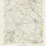
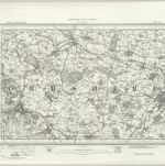
Burton upon Trent - OS One-Inch Map
1949
Ordnance Survey
1:63k
n/a
1742
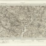
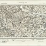
Ashbourne (Hills) - OS One-Inch Revised New Series
1895
Ordnance Survey
1:63k
Ashbourne (Outline) - OS One-Inch Revised New Series
1895
Ordnance Survey
1:63k
Burton upon Trent (Outline) - OS One-Inch Revised New Series
1895
Ordnance Survey
1:63k
Burton upon Trent (Hills) - OS One-Inch Revised New Series
1895
Ordnance Survey
1:63k