Cataloged map
Gen. map V.

Institution:The David Rumsey Map Collection
Full title:Gen. map V.
Depicted:1895
Pubdate:1895
Publisher:U.S. Government Printing Office
Map scale:1:633 600
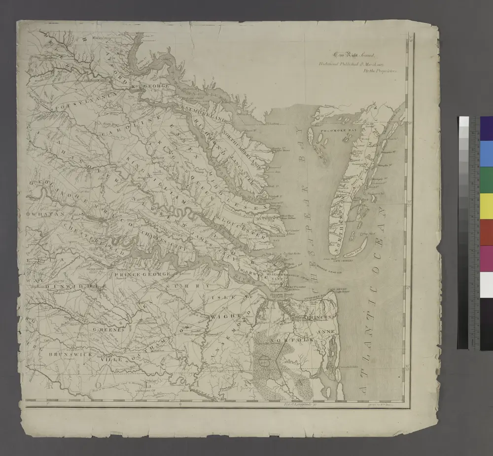
A map of Virginia: formed from actual surveys and the latest as well as the most accurate observations / by James Madison; drawn by Wm. Davis; with extensive additions and corrections to the year 1818.
1818
A map of Virginia: formed from actual surveys and the latest as well as the most accurate observations / by James Madison; drawn by Wm. Davis; with extensive additions and corrections to the year 1818.
1818
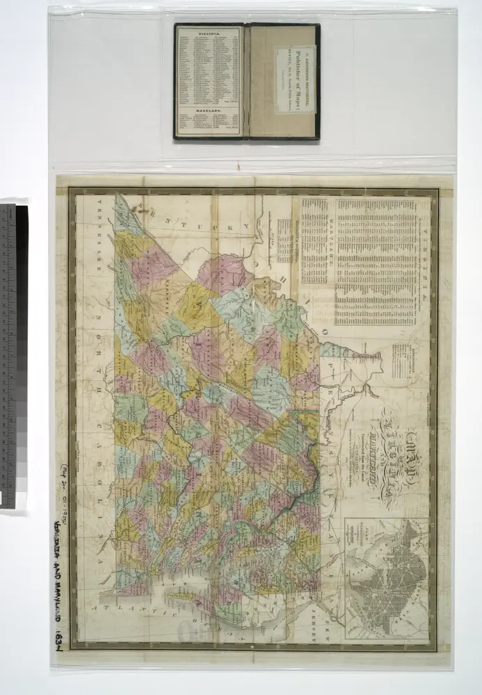
Map of Virginia and Maryland, constructed from the latest authorities / J.H. Young sc.
1834
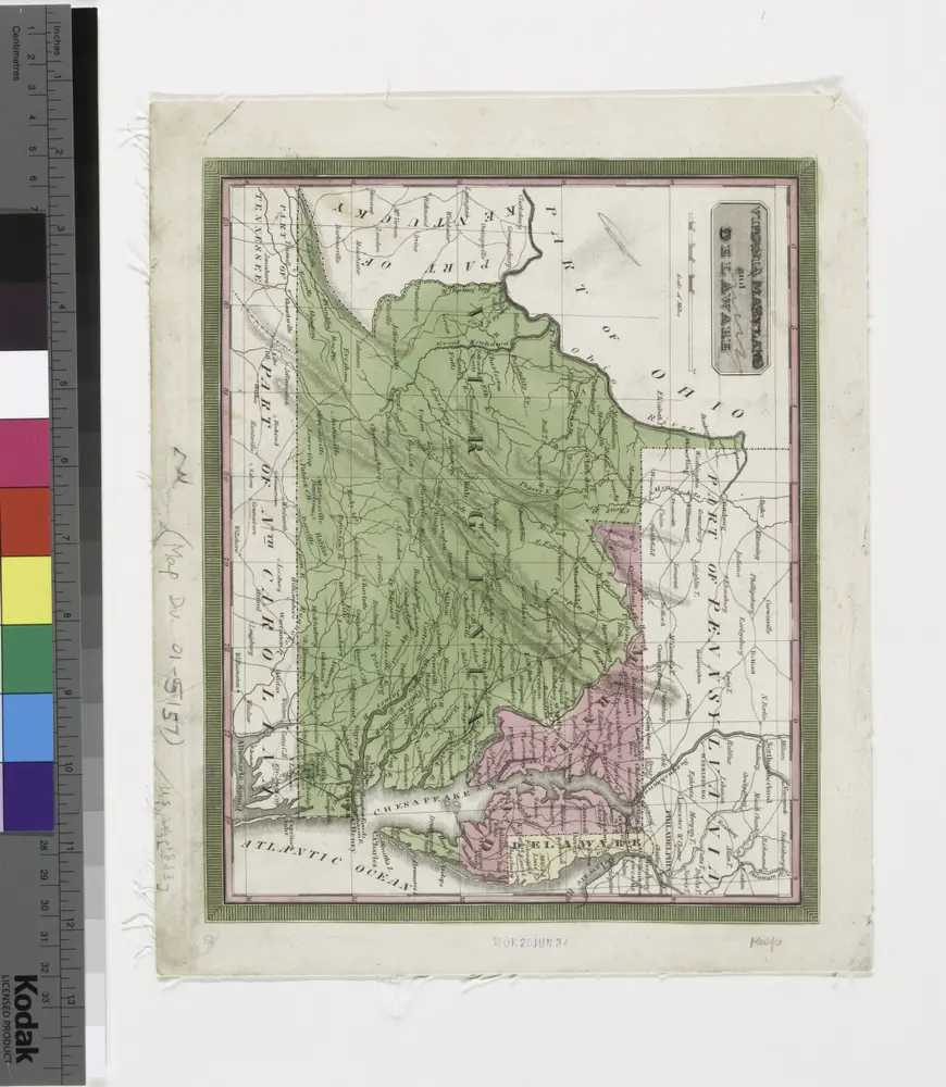
Virginia, Maryland and Delaware.
1833
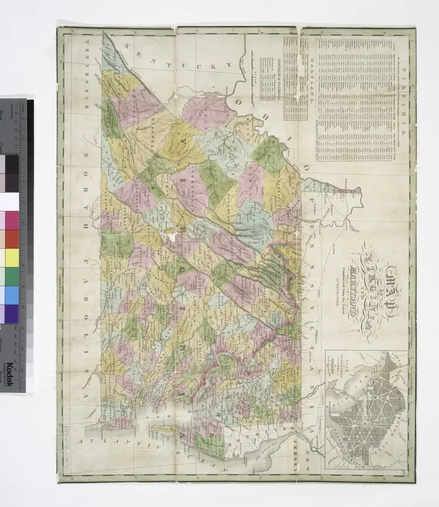
Map of Virginia and Maryland, constructed from the latest authorities.
1820
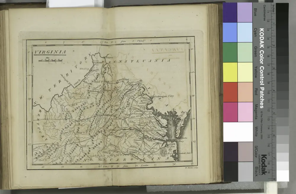
Virginia / W. Barker sculp.; Carey's American pocket atlas; containing nineteen maps... with a brief description of each state.
1801
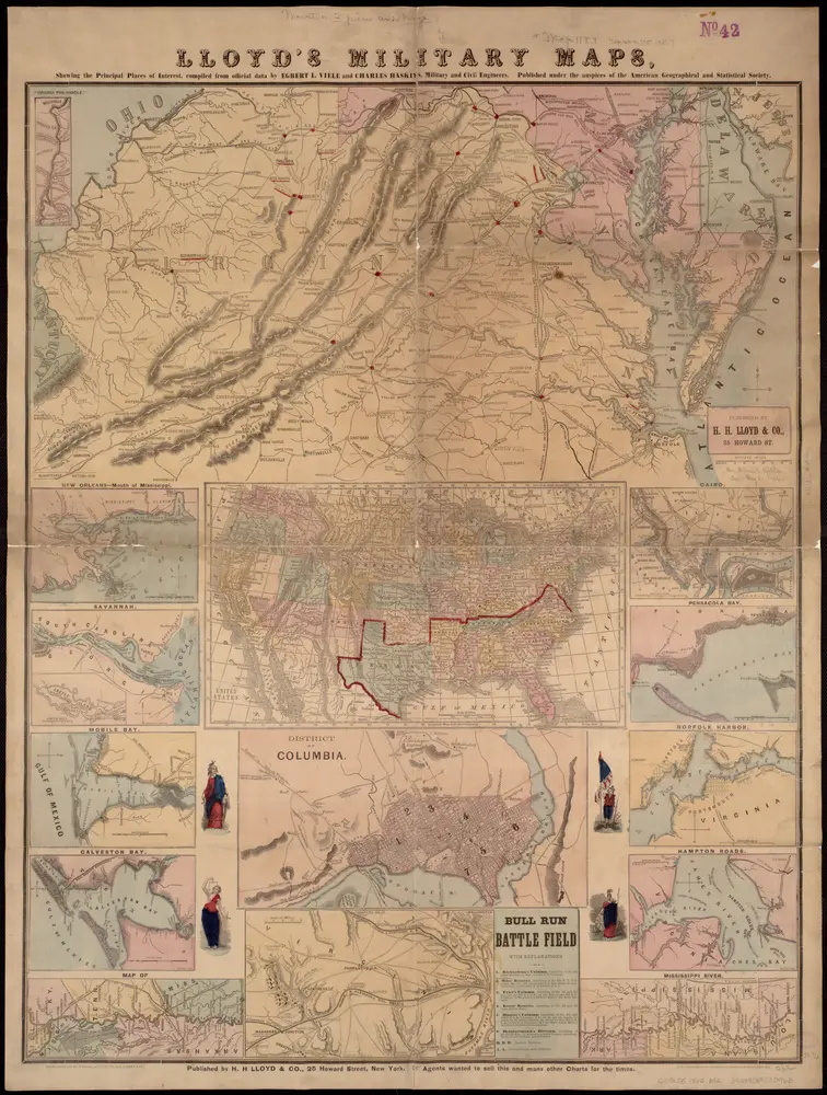
Lloyd's military maps: showing the principal places of interest
1861
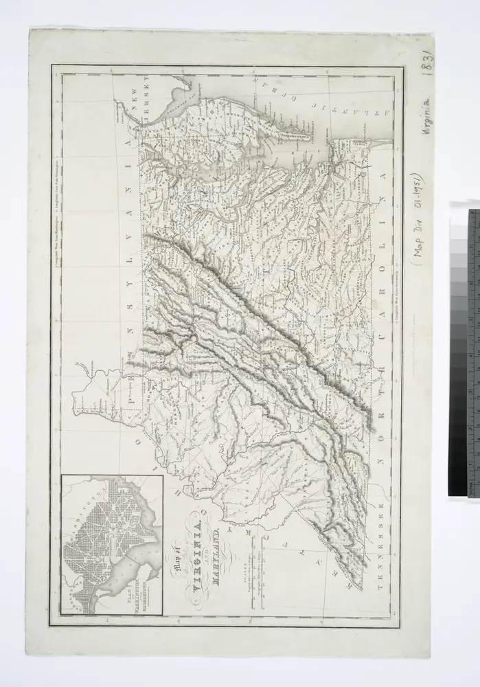
Map of the states of Virginia and Maryland / engraved & printed by Fenner Sears & Co.
1831
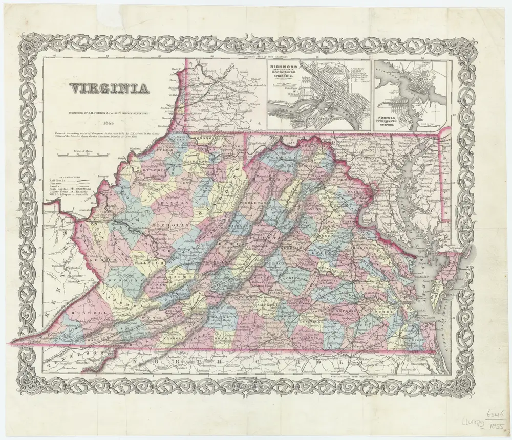
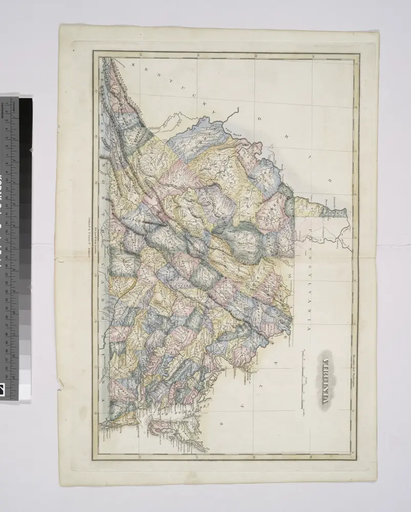
Virginia
1855
New York, [N.Y.] : J.H. Colton & Co.
1:2m
Virginia.
1823