プロジェクト
コミュニティ
ニュース
私のアプリ
私の地図
Mapa catalogado
Okmulgee
外部サイトで見る
Institución:
United States Geological Survey
Título completo:
Okmulgee
Año de ilustración:
1900
Fecha de publicación:
1945
Escala del mapa:
1:125 000
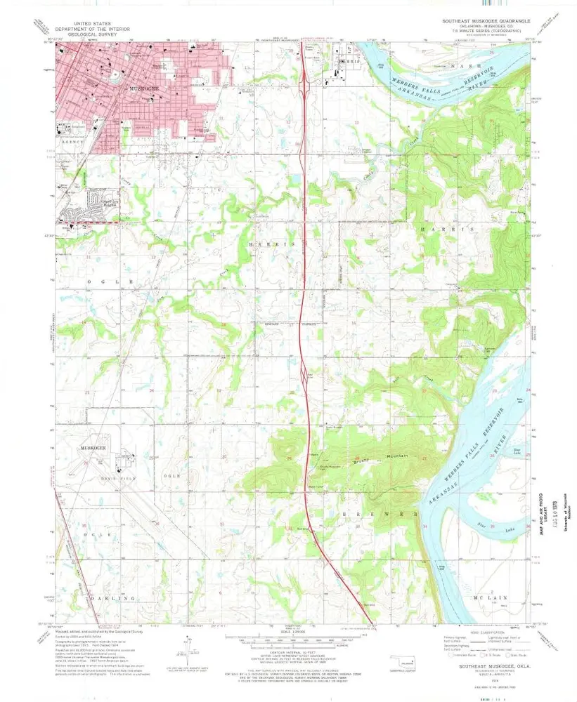
Southeast Muskogee
1974
1:24k
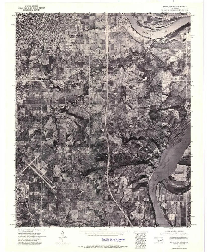
Keefeton NE
1972
1:24k
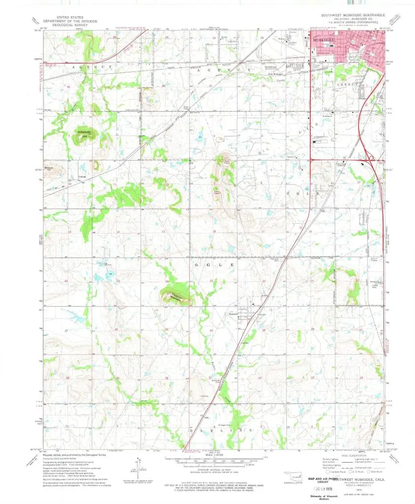
Southwest Muskogee
1974
1:24k
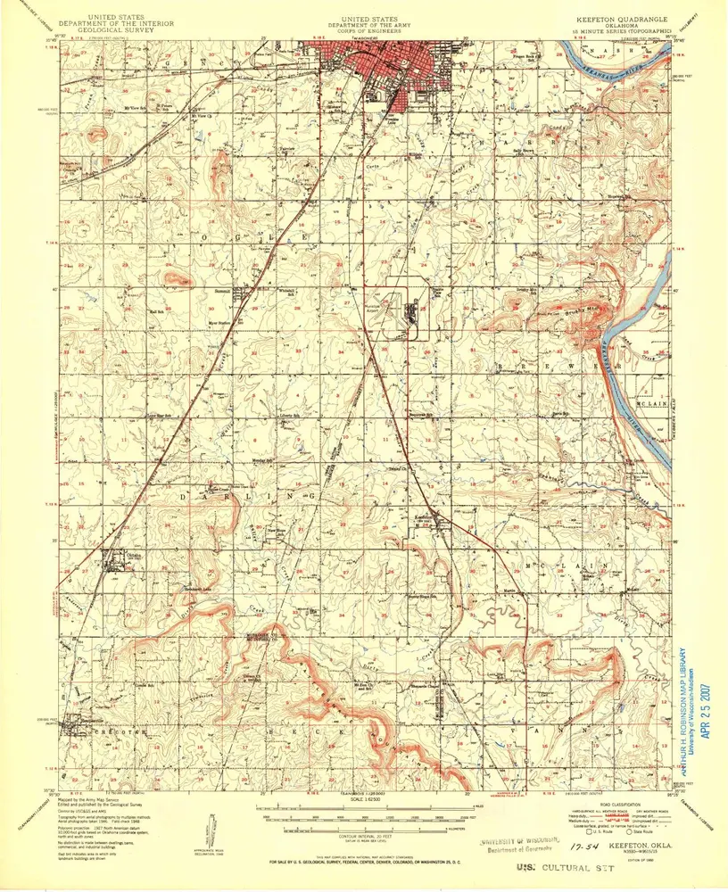
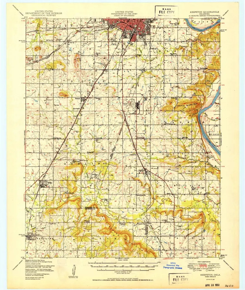
Keefeton
1950
1:63k
Keefeton
1950
1:63k
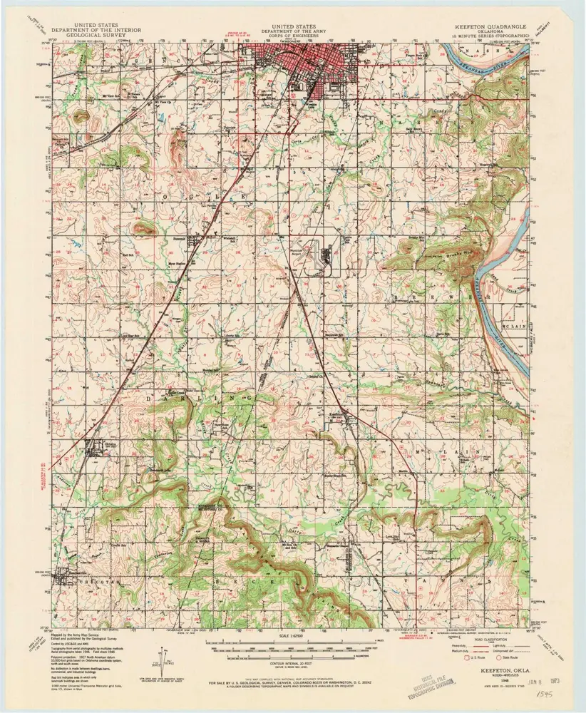
Keefeton
1948
1:63k
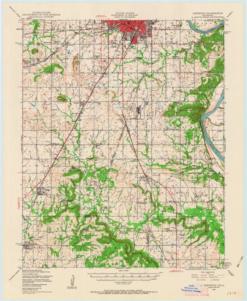
Keefeton
1948
1:63k
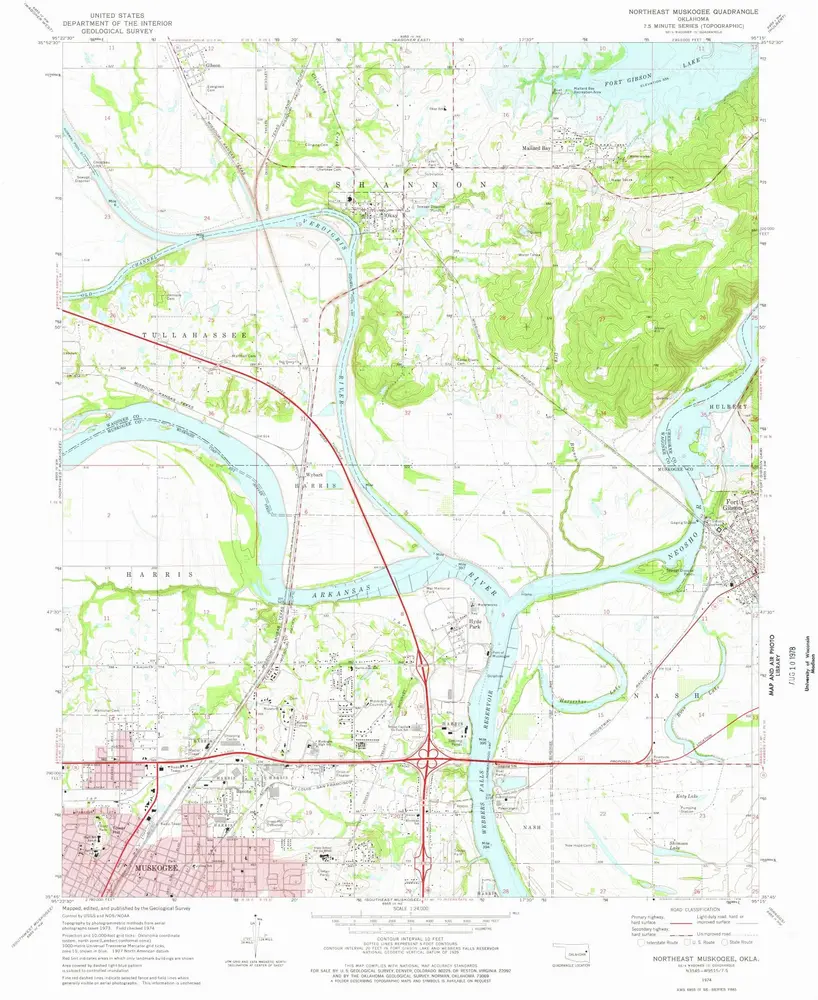
Northeast Muskogee
1974
1:24k
Wagoner SE
1972
1:24k
Northwest Muskogee
1974
1:24k
Wagoner SW
1972
1:24k
Historia