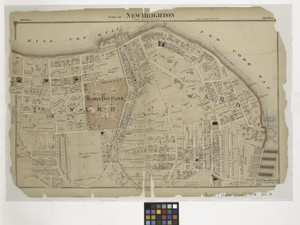
Cataloged map
Part of New Brighton : Town of Castleton.

Institution:New York Public Library
Full title:Part of New Brighton : Town of Castleton.
Depicted:1874
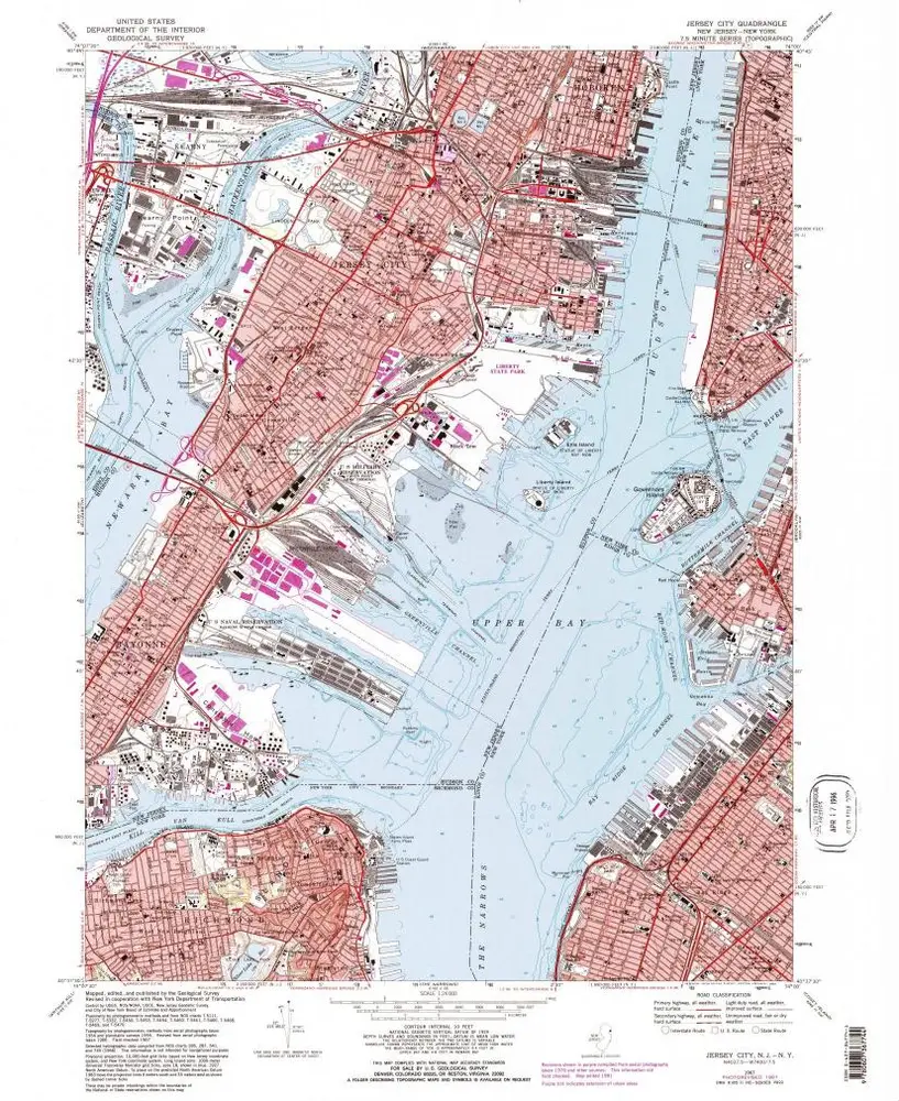
Jersey City
1967
1:24k
Jersey City
1967
1:24k
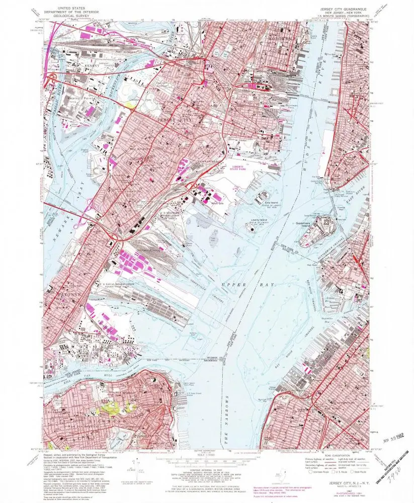
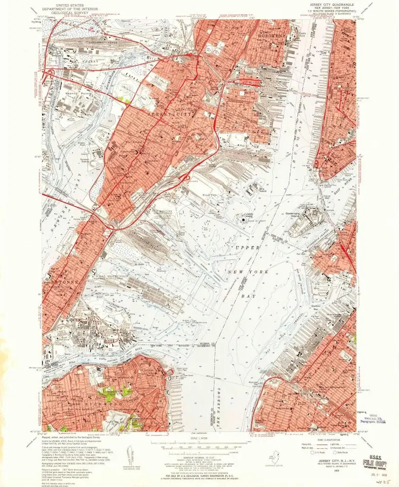
Jersey City
1955
1:24k
Jersey City
1955
1:24k
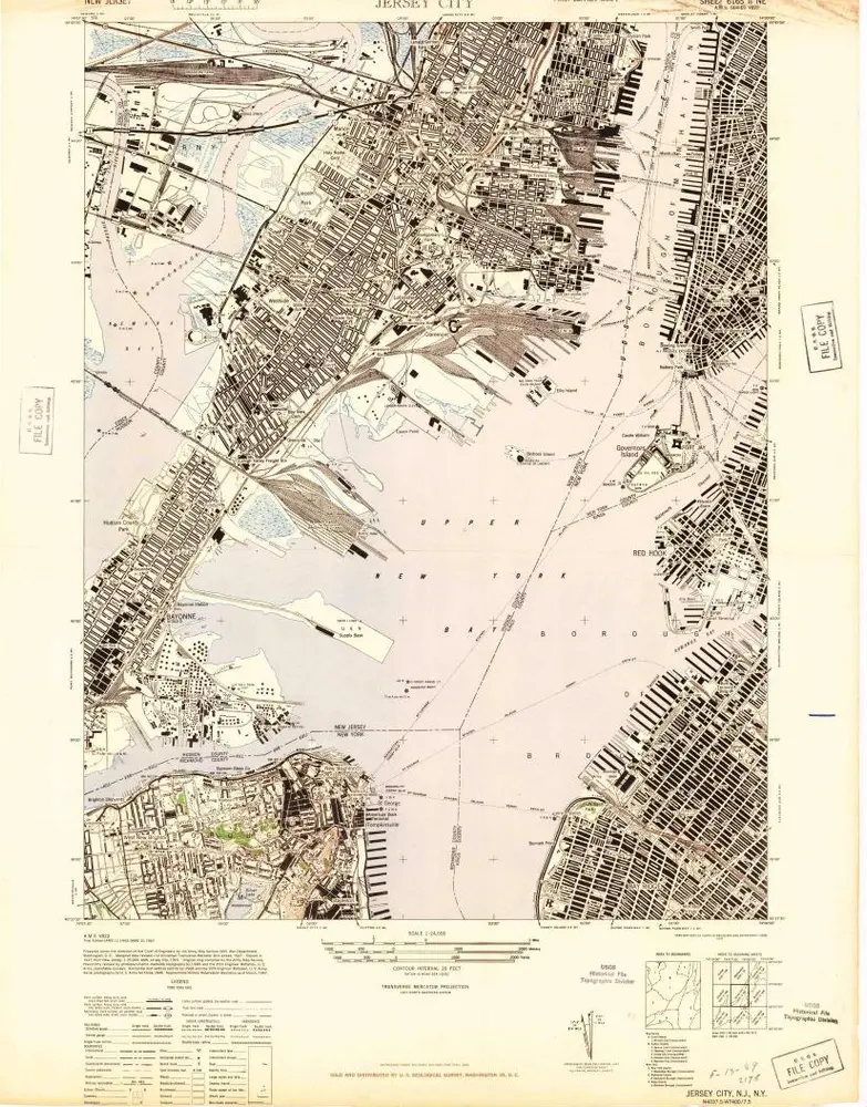
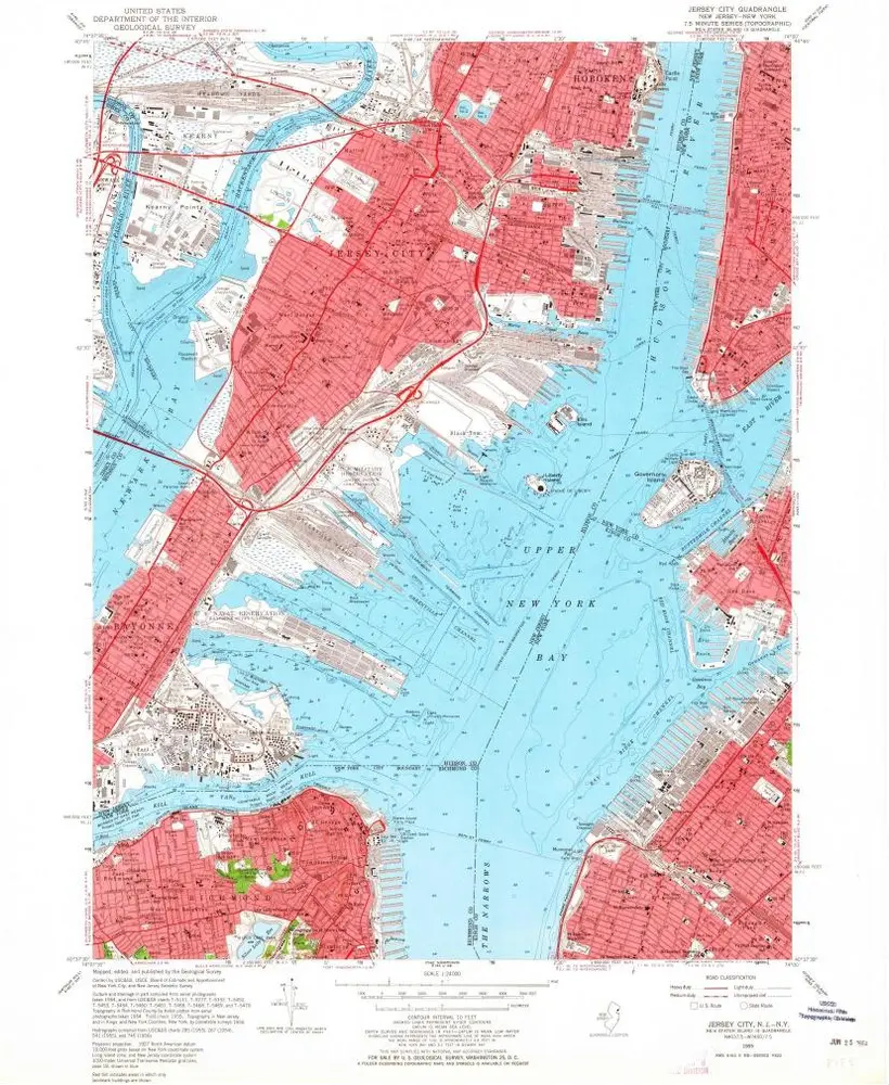
Jersey City
1947
1:24k
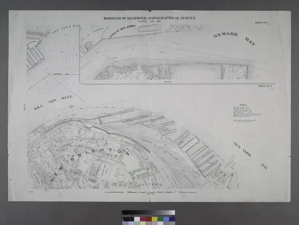
Borough of Richmond, Topographical Survey.
1913
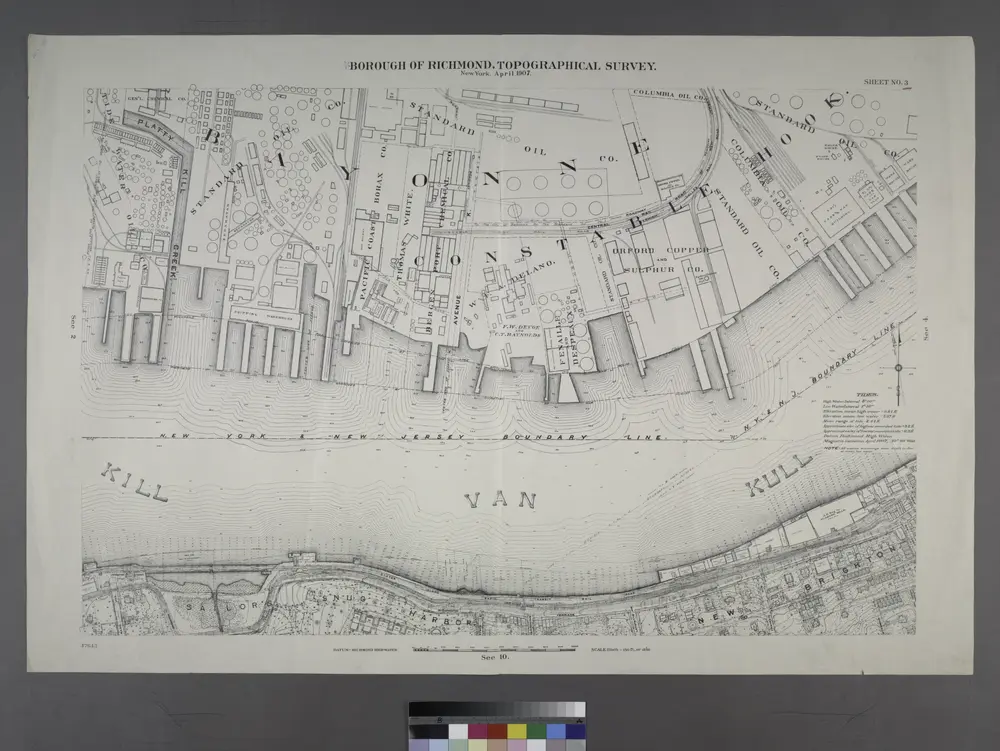
Borough of Richmond, Topographical Survey.
1913
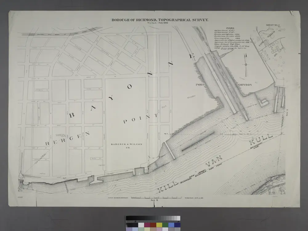
Sheet No. 2. [Includes Richmond Terrace in Staten Island, Port Johnson, New Jersey and Richmond Borough Boundary Line, and, Bayonne in New Jersey.]
1913
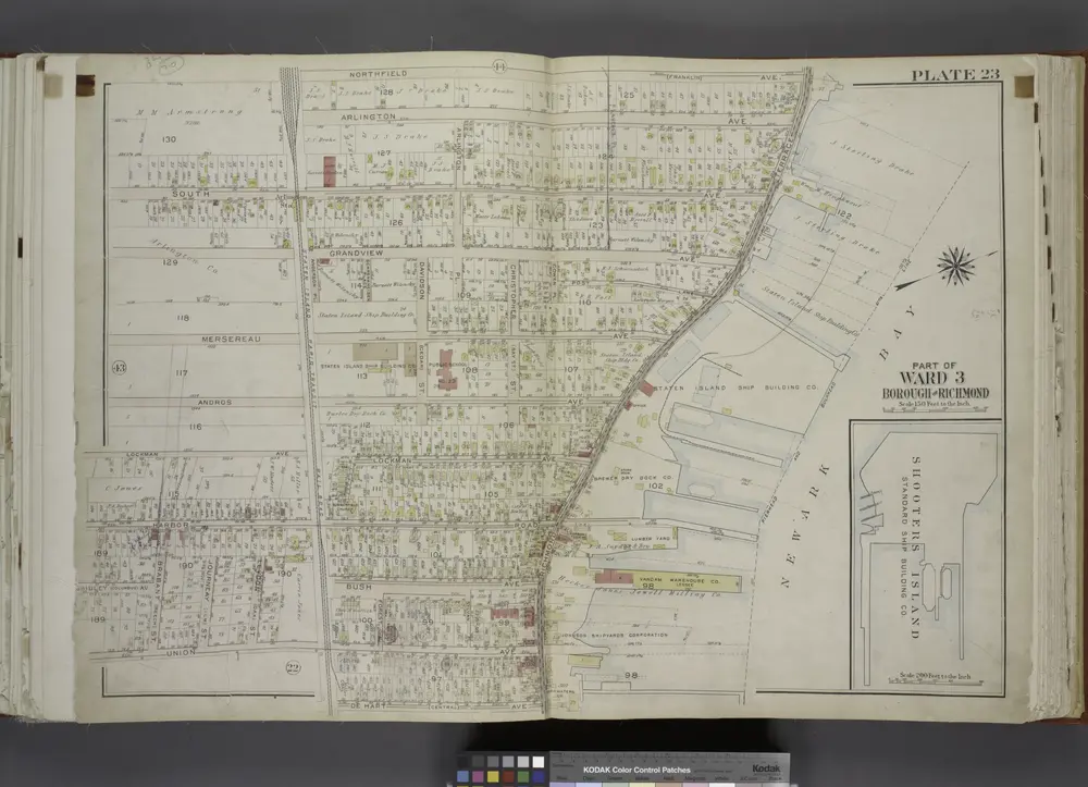
Part of Ward 3. [Map bound by Northfield Ave (Franklin), Richmond Terrace, Pierhead and Bulkhead Line, De Hart Ave (Central), Staten Island Rapid Transit R.R., Union Ave, Brabant St (Beech), Gridley Ave (Columbus), Harbor Road, Lockman Ave, Andros Ave, Mersereau Ave, Grandview Ave, South Ave; Shooters Island - Standard Ship Building Co.]; Atlas of the city of New York, borough of Richmond, Staten Island. From actual surveys and original plans, by George W. and Walter S. Bromley.
1917
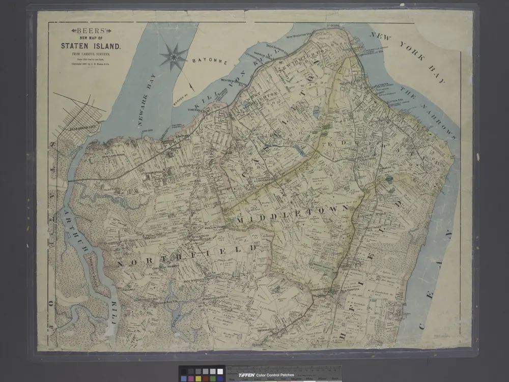
New map of Staten Island
1887