

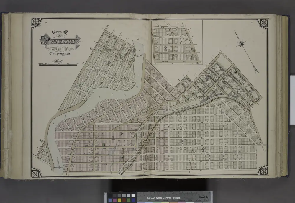
City of Paterson. Part of the 2nd, 7th and 8th Wards
1877
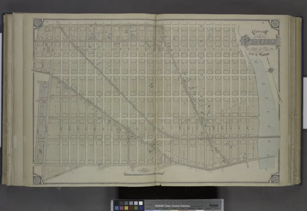
City of Paterson. Part of the 4th, 5th and 8th Wards
1877
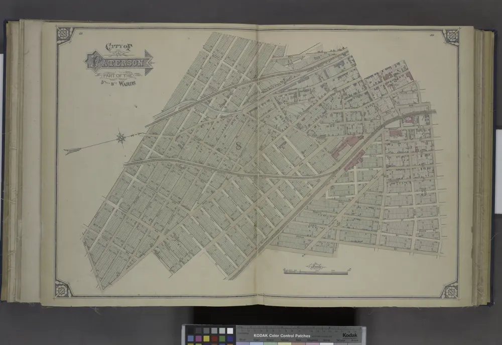
City of Paterson. Part of the 5th and 8th Wards
1877
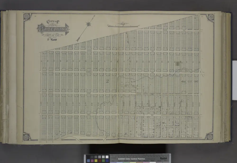
City of Paterson. Part of the 2nd Ward
1877
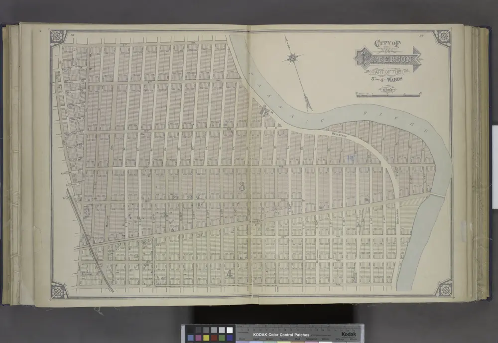
City of Paterson. Part of the 3rd and 4th Wards
1877
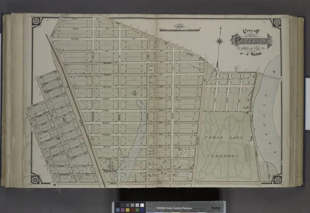
City of Paterson. Part of the 4th and 8th Wards
1877
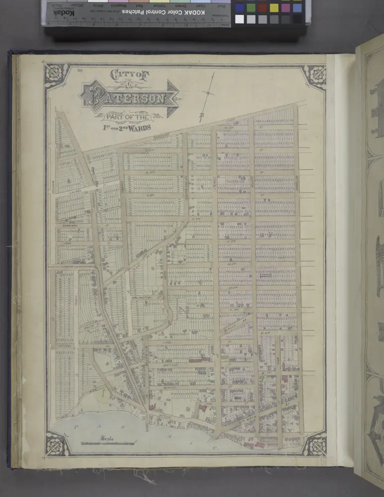
City of Paterson. Part of the 1st and 2nd Wards
1877
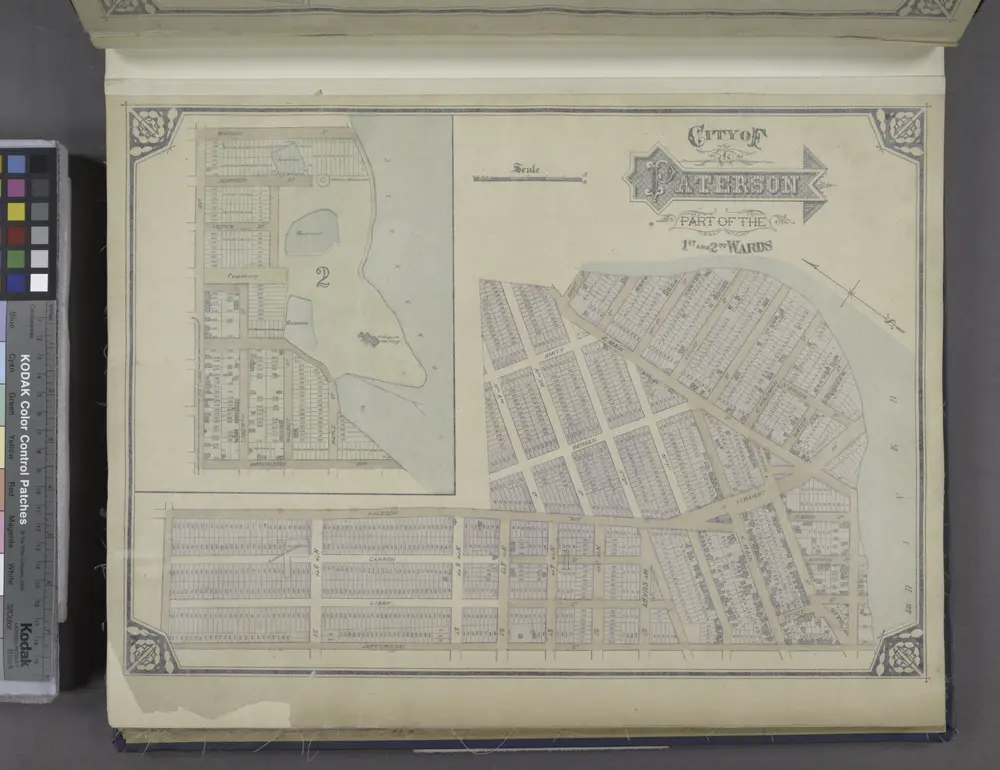
City of Paterson. Part of the 1st and 2nd Wards
1877
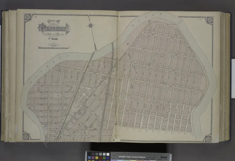
City of Paterson. Part of the 3rd Ward
1877
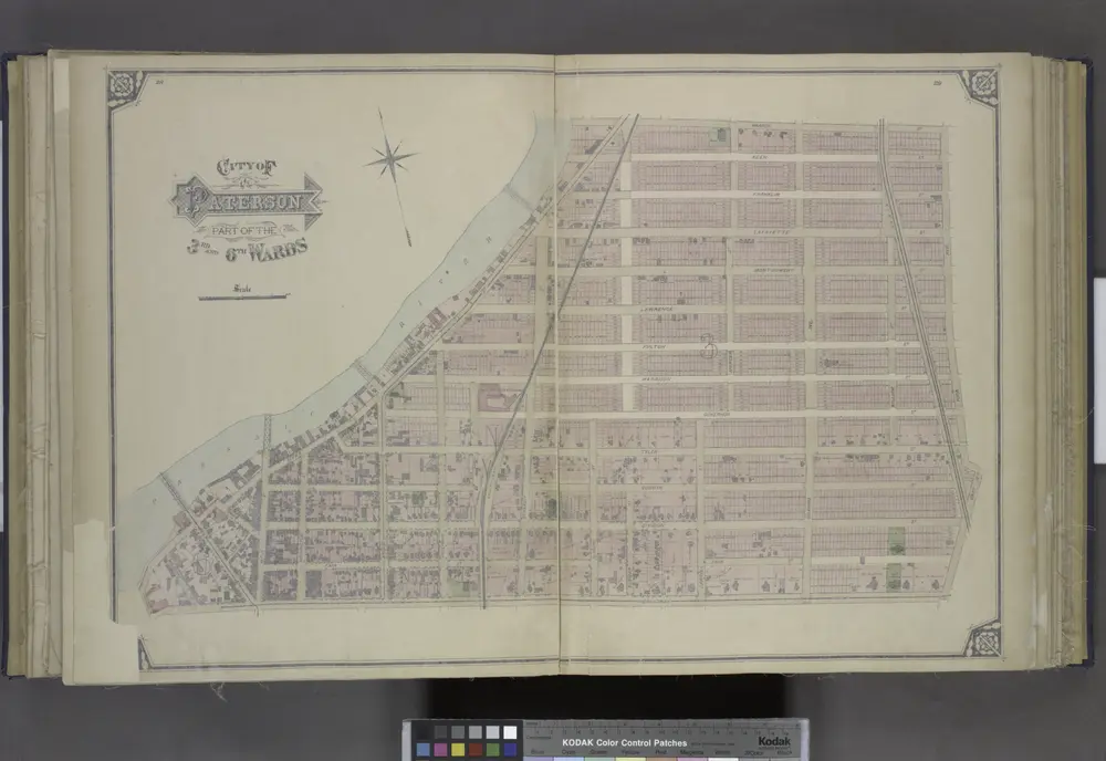
City of Paterson. Part of the 3rd and 6th Wards
1877

