

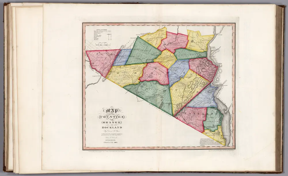
Map of the Counties of Orange and Rockland (New York).
1840
Burr, David H., 1803-1875
1:168k
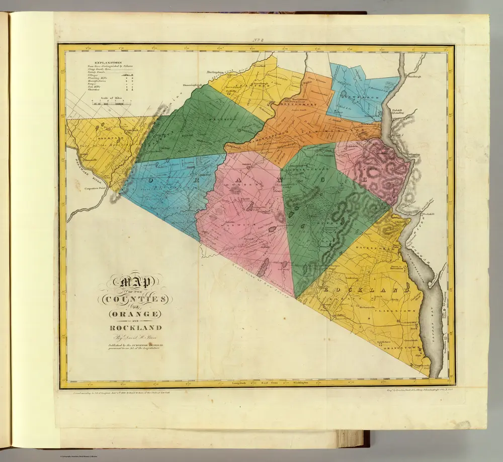
Orange, Rockland counties.
1829
Burr, David H., 1803-1875
1:151k
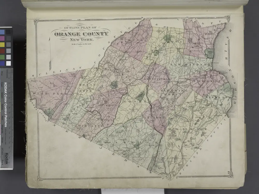
Outline Plan of Orange County New York.
1875
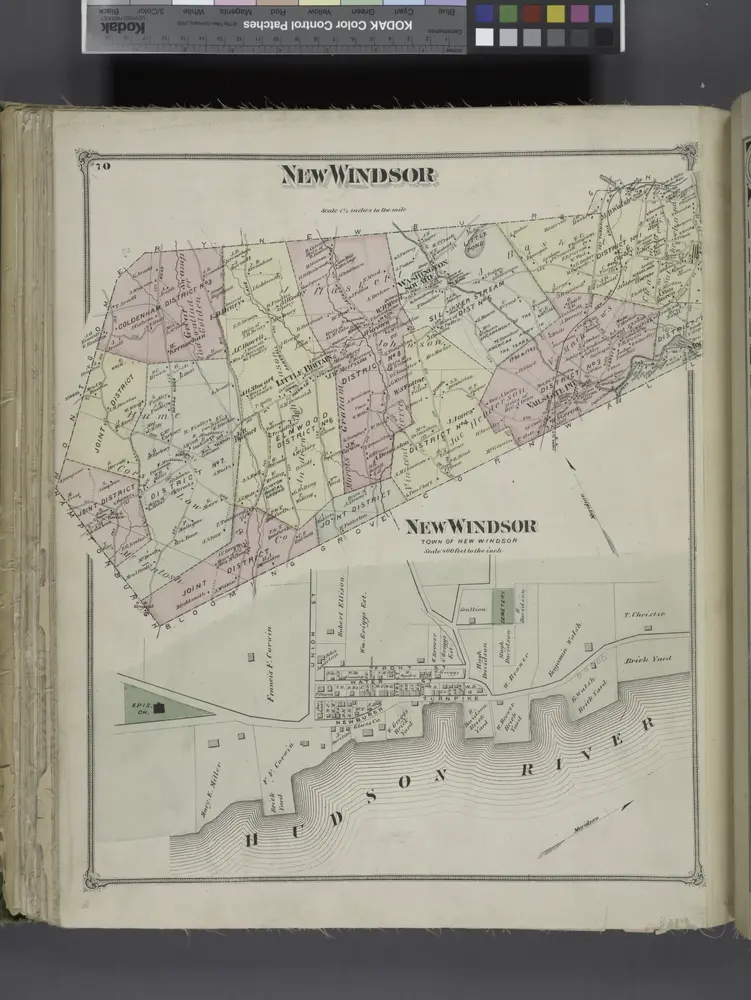
New Windsor [Township]; New Windsor [Village]
1875
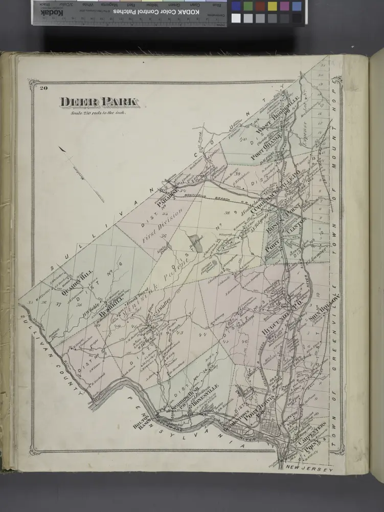
Deer Park [Township]
1875
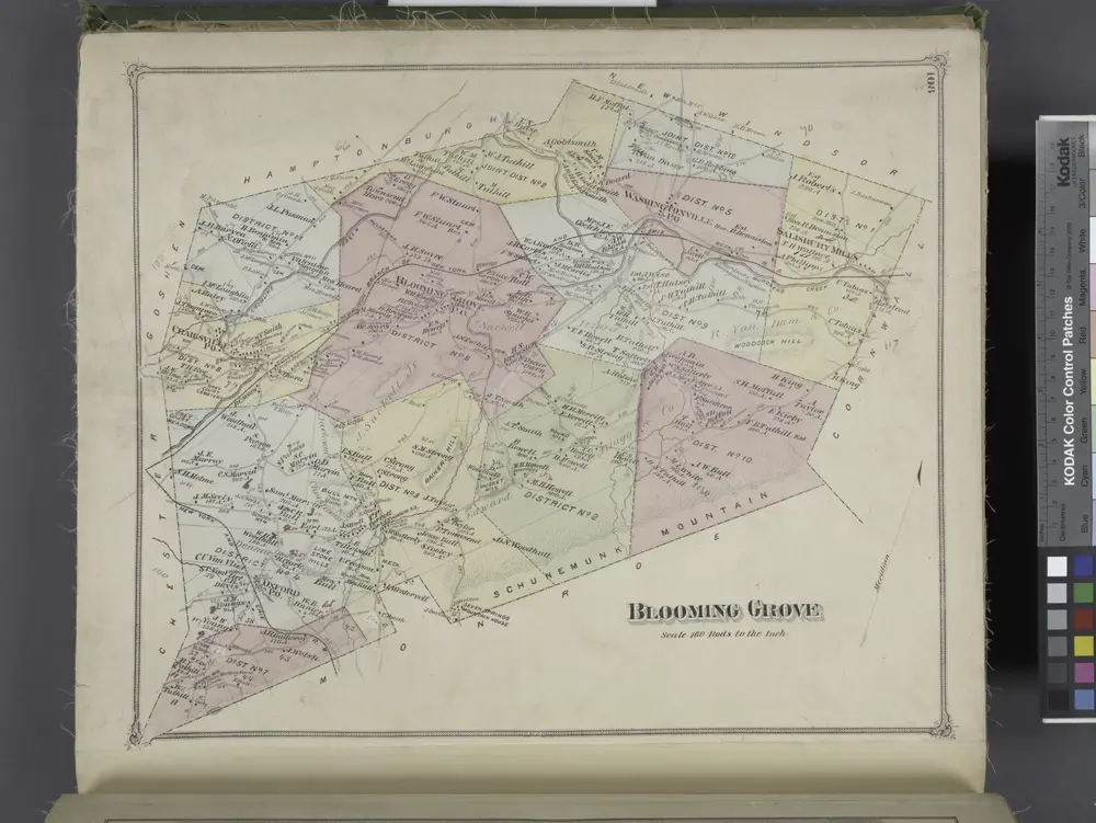
Blooming Grove [Township]
1875
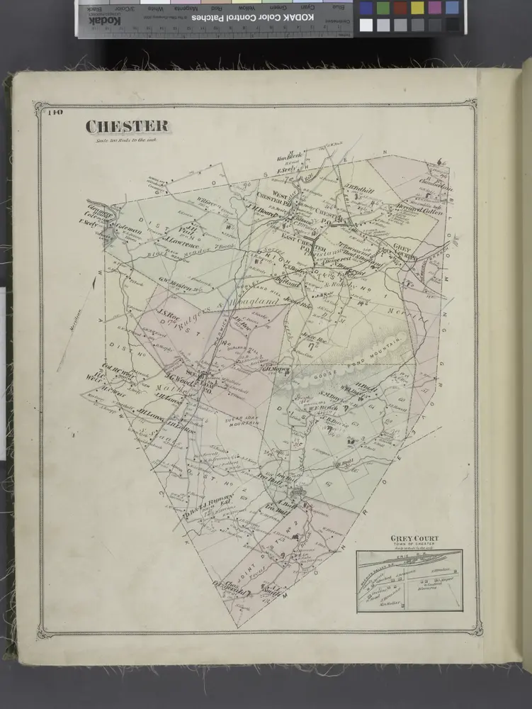
Chester [Township]; Grey Court [Village]
1875
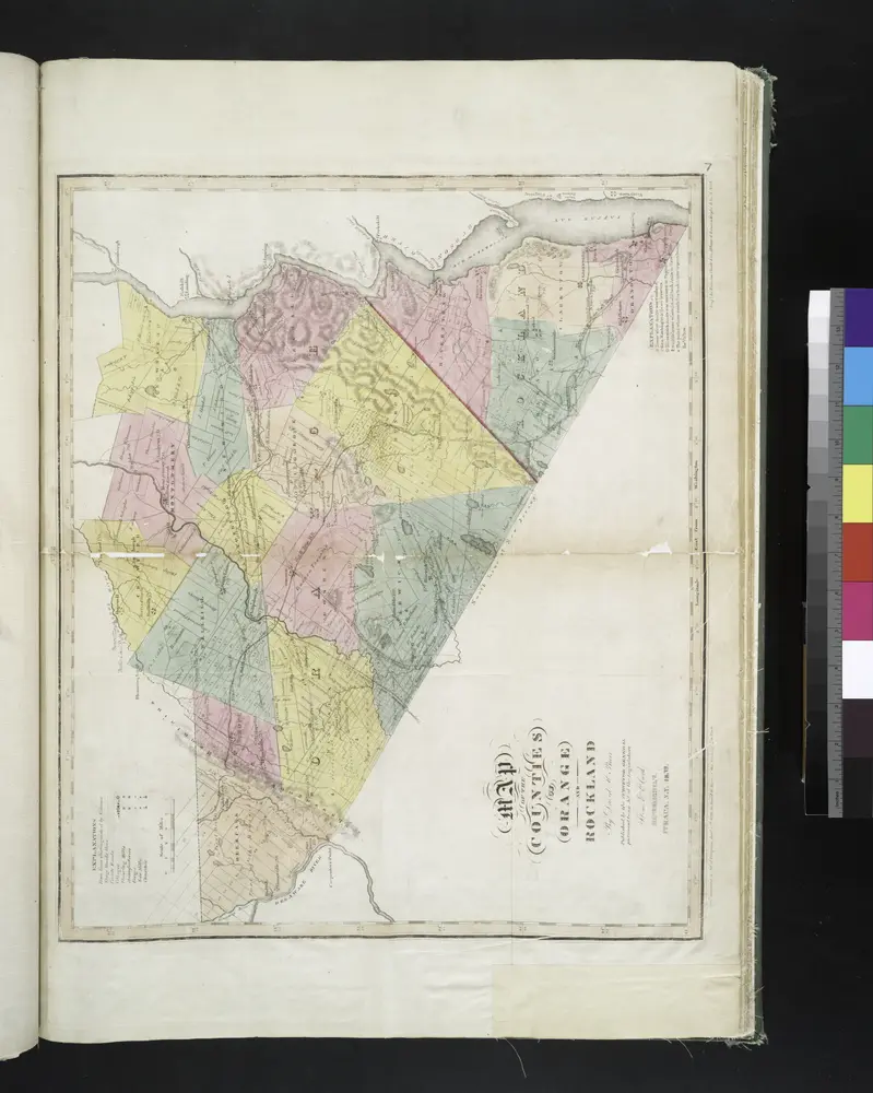
Map of the counties of Orange and Rockland / by David H. Burr ; engd. by Rawdon, Clark & Co., Albany, & Rawdon, Wright & Co., N. York.
1829
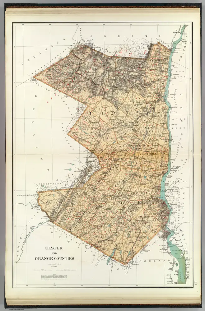
Ulster, Orange counties.
1895
Bien, Joseph Rudolf
1:158k
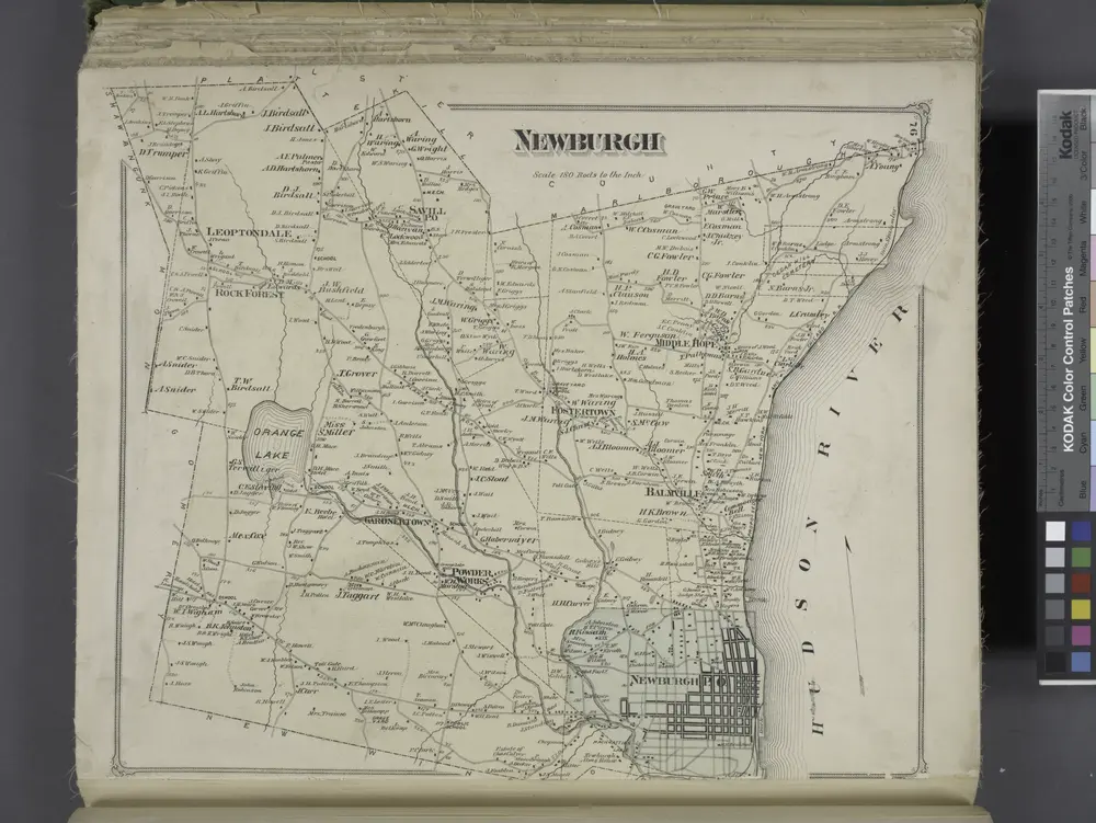
Newburgh [Township]
1875

